




🌧️ Flood Threat Peaks Across Southcentral
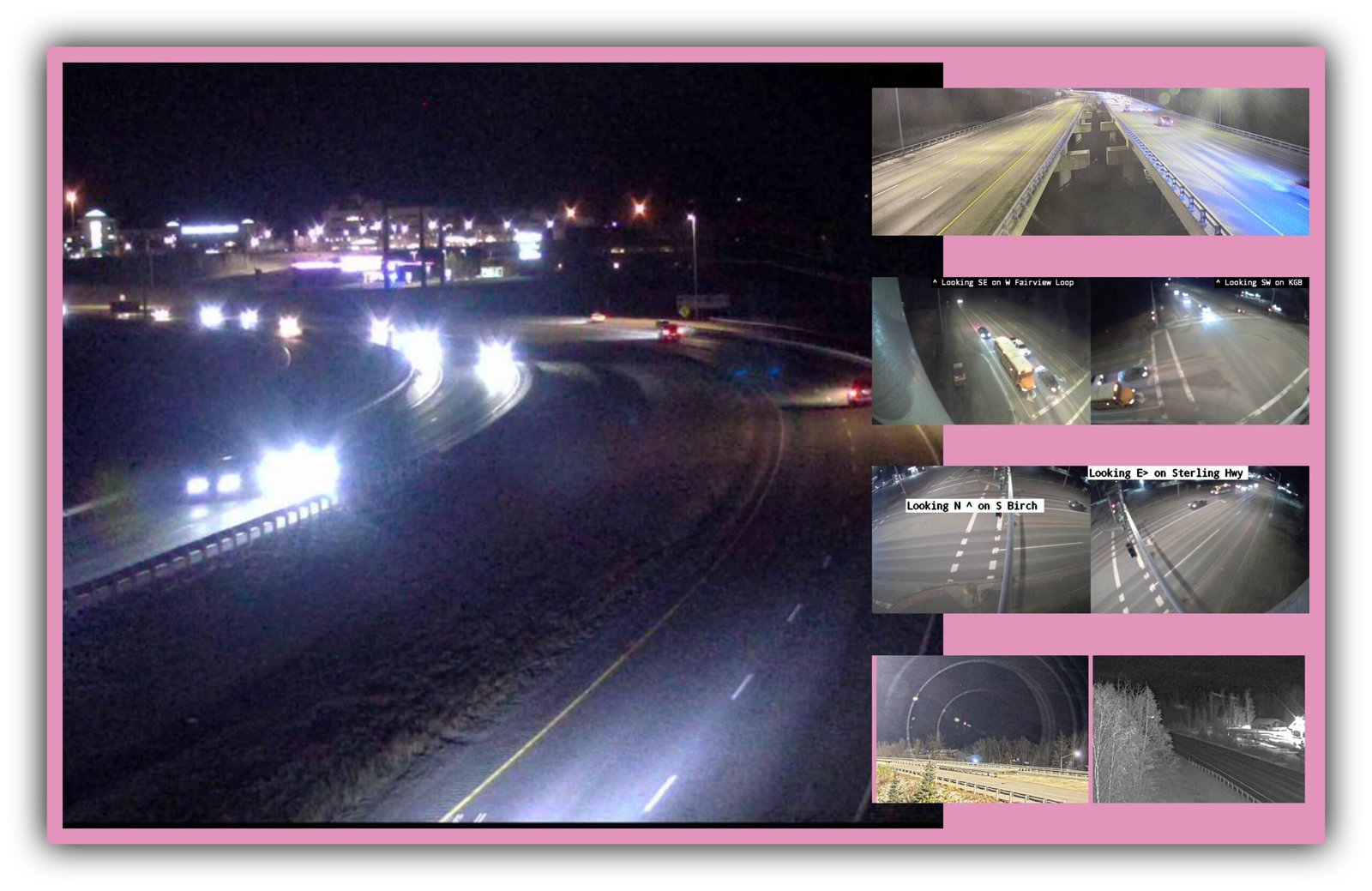
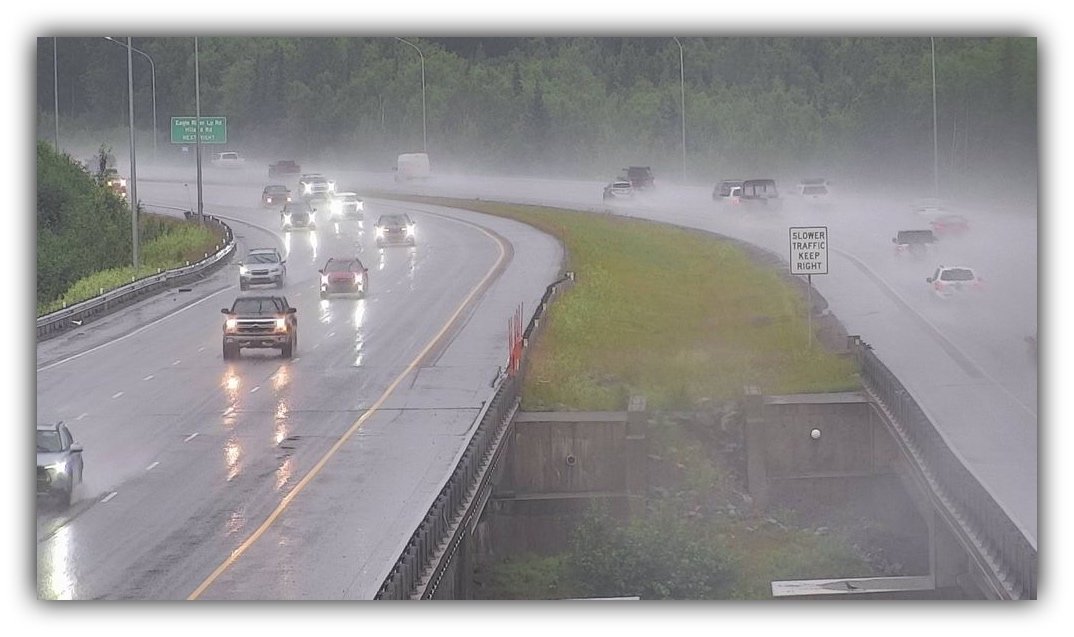
Rain falls across the Eagle River area as Southcentral Alaska braces for another round of heavy precipitation, rising creek levels, and possible flooding. Photo: Alaska 511
The heaviest rain arrives today. Here’s where flooding could hit hardest.
By Gina Hill | Alaska Headline Living | Monday, July 20, 2026
If your yard looks like a sponge, your windshield wipers haven’t stopped, and you’re wondering whether that puddle is a puddle anymore, you’re not imagining things.
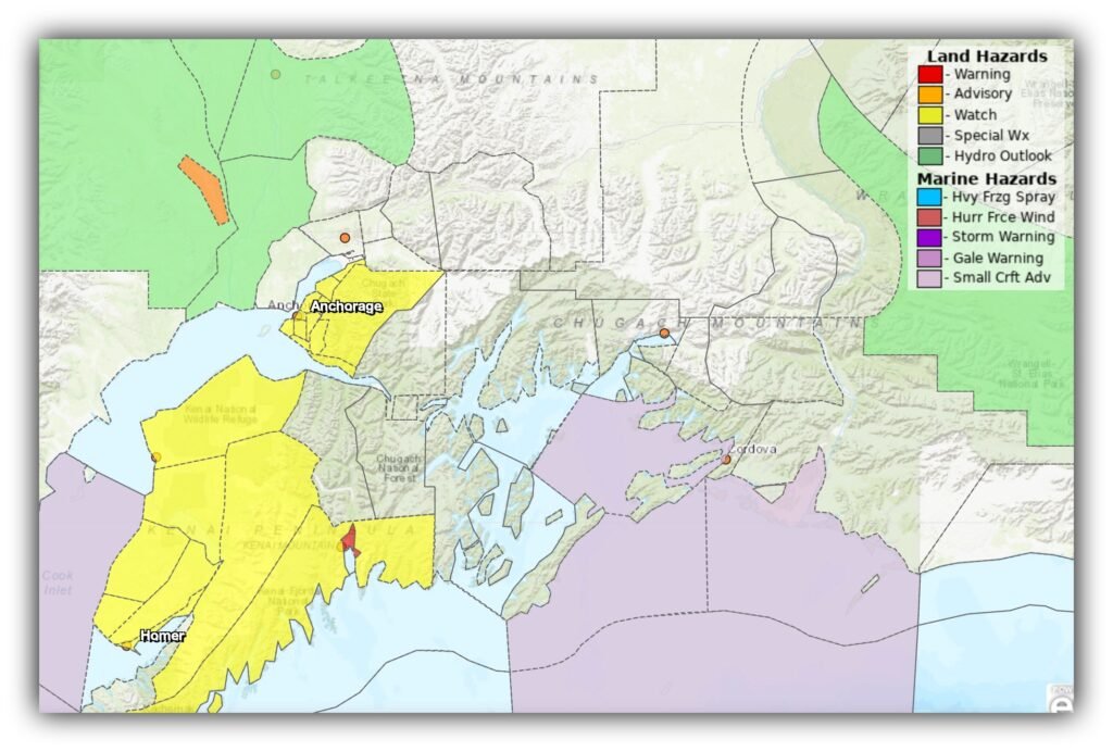
Southcentral Alaska is entering the most concerning part of this rain event, and while not everyone will see flooding, emergency managers say conditions are lining up for water problems from Seward to Anchorage.
The biggest concern remains Seward, where a Flood Warning is in effect until 10 a.m. Tuesday as an atmospheric river continues dumping rain across the southern Kenai Mountains.
Seward Is Taking the Brunt
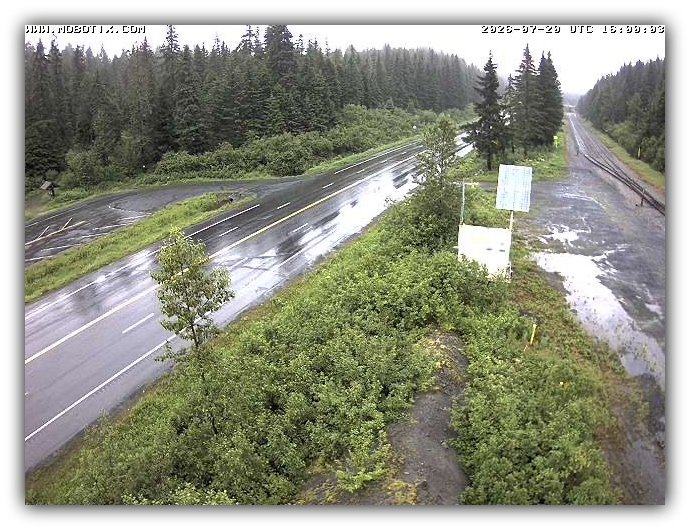
The National Weather Service expects 4 to 6 inches of rain, with even higher amounts possible in the surrounding mountains.
That much water has to go somewhere.
Officials expect:
- Rivers and creeks to rise rapidly
- Flooding along roads near waterways
- Low-lying areas to take on water
- The Seward Airport runway to flood, with debris from the Resurrection River possible on the airfield
- Water levels to peak Monday before beginning to fall Monday night into Tuesday
The encouraging news is that, as of early Monday morning, river gauges had not yet climbed significantly above action stage, even though the Flood Warning remains in effect. Forecasters caution that conditions can change quickly as runoff from the mountains continues making its way downstream.
Anchorage Isn’t Off the Hook
If you’re in Anchorage, Eagle River, or the Hillside, don’t let the lack of dramatic rivers fool you.
The concern here is different.
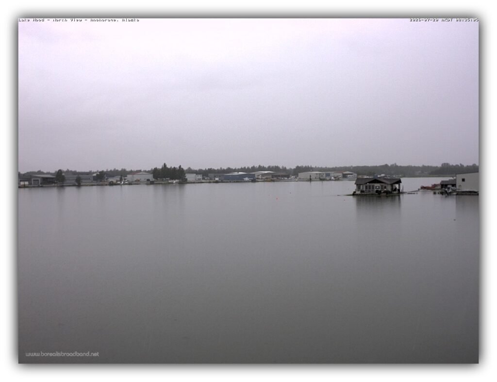
After about an inch of rain already soaked the city Sunday, another round of moderate to heavy rain is expected during Monday’s commute. With saturated ground, it won’t take much for storm drains to back up and roads to pond with water.
The Flood Watch includes:
- Anchorage
- Eagle River
- Eklutna
- Indian
Officials say Chester Creek and Campbell Creek will remain elevated through Tuesday, and localized urban flooding is possible anywhere drainage can’t keep up.
Drivers Need to Slow Down
This isn’t just about standing water.
The Weather Service also warns that continued rainfall could trigger rockfalls along the Seward Highway south of Anchorage, where steep slopes become unstable after prolonged rain.
If you’re headed toward the Kenai Peninsula today:
- Expect water on the roadway.
- Watch for debris after heavy downpours.
- Give yourself extra travel time.
- Never drive through water if you can’t see the pavement underneath.
As emergency officials repeatedly remind drivers:
Turn Around, Don’t Drown. Most flood deaths happen in vehicles.
This Is the Kind of Rain Alaska Doesn’t See Every Week
Atmospheric rivers aren’t thunderstorms that dump rain for an hour and move on.
They’re long bands of tropical moisture that can deliver steady, soaking rainfall for days. The current system has been feeding moisture into Southcentral Alaska since the weekend and continues to produce widespread rain across the Kenai Peninsula, Anchorage, and the Susitna Valley.
That means every additional shower falls onto ground that’s already saturated.
What You Can Do Today
You don’t need to panic.
You do need to pay attention.
Before heading out:
- Check local road conditions.
- Clear storm drains near your home if it’s safe.
- Move valuables away from basements or crawl spaces that have flooded before.
- Give yourself extra stopping distance on wet roads.
- Keep an eye on local forecasts if you live near a creek or river.
For many Alaskans, today will simply be another rainy Monday.
For others, especially around Seward, it could be a day when a familiar creek suddenly isn’t so familiar anymore. Stay weather-aware, slow down, and don’t underestimate moving water.
What do you feel about this post?

Like

Love

Happy

Haha

Sad