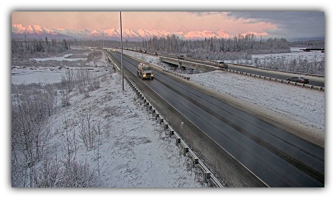
Traffic moves under darkening skies at the Glenn Highway’s 2nd Knik River Bridge near Milepost 31.1 on Friday evening, as high winds begin pushing through the Mat-Su. Photo: Alaska 511
By Gina Hill | Alaska Headline Living | December 2025
The National Weather Service has issued a High Wind Warning for the entire Matanuska Valley, with dangerous conditions expected to begin tonight at 8 p.m. and continue through Sunday at 11 p.m. The warning stretches across MEA’s service area from Eagle River to Palmer, Wasilla, Talkeetna, and Glacier View, bringing a combination of destructive winds, plummeting temperatures, and elevated outage risks.
Forecasters say northeast winds of 30 to 40 mph will rapidly intensify this evening, with gusts expected to reach 70 to 80 mph at their peak. The strongest winds are forecast for Palmer and Wasilla, with conditions severe enough to move debris, damage property, complicate travel, and down power lines.
The NWS cautions that these winds will usher in much colder air, driving wind chills to -10 to -20°F by Sunday evening. Officials warn that frostbite on exposed skin is possible in as little as 30 minutes under these conditions.
Shortly after gusts first ramp up tonight, residents may also see areas of blowing snow, adding reduced visibility to the list of hazards. Winds are expected to remain intense through Saturday, with a slight lull possible late Saturday before a second spike on Sunday.
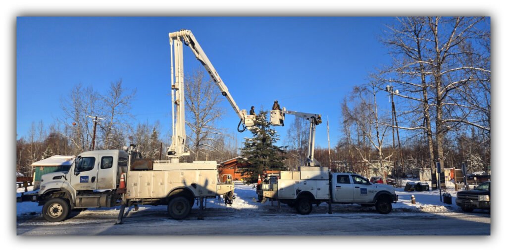
Matanuska Electric Association (MEA) says crews are prepared to respond if outages occur and encourages members to report any loss of power through their SmartHub account or by calling 907-746-7697 (POWR). MEA’s outage map is available at https://www.mea.coop/power-outages.
Residents across the Mat-Su should secure loose outdoor items immediately, prepare for potential power interruptions, and use extreme caution if travel is unavoidable.
Authorities emphasize that these winds are strong enough to cause widespread impacts, and preparation ahead of the onset tonight is essential.