



Alaska’s Friday Five
💸 Nearly 4 in 10 Alaska households can’t afford the basics. That’s the finding behind a new report that puts the cost of living into sharp focus.
🐟 Elsewhere, salmon bycatch is fueling debate over commercial fishing, a new map shows tsunami hazards along Alaska’s coast, and scientists have identified nine new deep-sea sponge species in Alaska waters.
📰 Five stories. One state. Here’s your Alaska Friday Five.
1. Nearly 4 in 10 Alaska Households Can’t Afford the Basics
Cost of living | Statewide
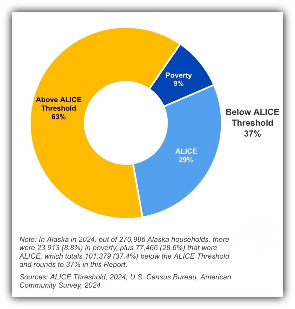
A new report finds that 37% of Alaska households did not earn enough to cover basic expenses in 2024. That is 101,379 households out of 270,986 statewide.
The report uses a measure called ALICE, short for Asset Limited, Income Constrained, Employed. These households earn more than the federal poverty level but still fall short of the cost of essentials such as housing, food, transportation, health care and child care.
For a single adult in Alaska, the report estimates a basic survival budget of $37,056 a year. That compares with the federal poverty level of $18,810. The gap helps explain why people who work and earn too much to qualify for some assistance can still struggle to make ends meet.
The report also finds that more than two-thirds of Alaska’s single-parent households face financial hardship by this measure.
Read more: United for ALICE: Alaska
2. Bering Sea Storm Brings Coastal Flooding and High Winds
Weather | Western Alaska
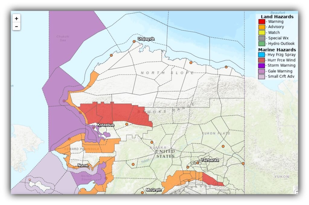
A powerful storm moving north through the Bering Sea has brought high winds and elevated water levels to parts of western Alaska. Coastal water levels were reported at 2 to 6 feet above the normal highest tide, with flooding concerns continuing into Friday.
Winds have eased from their strongest levels, but gusts above 50 mph were still expected in some areas. The weather system could also bring impacts farther east, including Southcentral Alaska and parts of the Alaska Range.
Coastal residents should follow local warnings and emergency instructions, especially where water is already affecting roads, homes or community infrastructure.
Read more: National Weather Service, Anchorage
3. Alaska’s Pollock Fishery Faces Growing Scrutiny Over Salmon Bycatch
Commercial fishing | Bering Sea
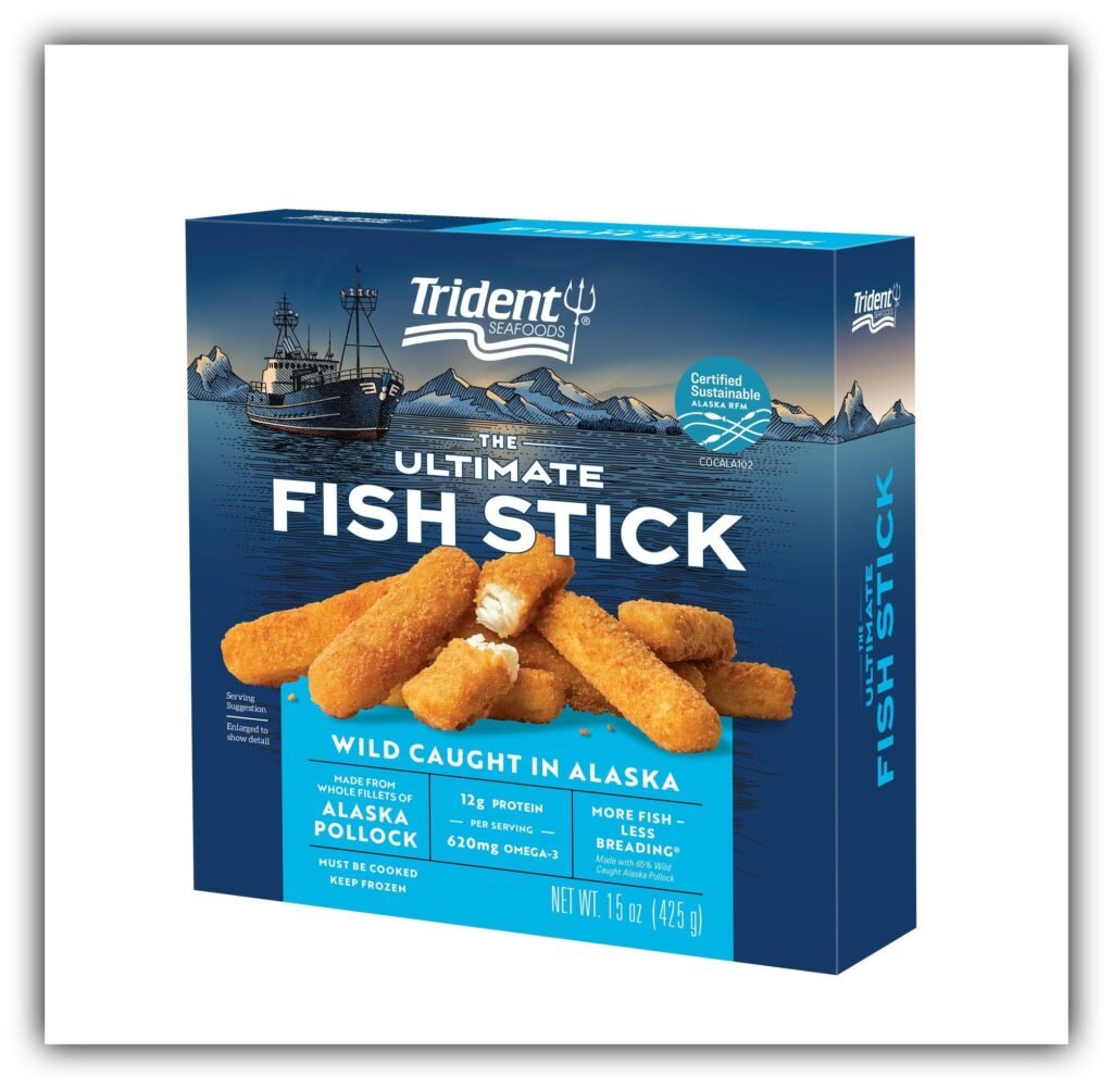
Alaska’s pollock industry is facing renewed criticism over salmon caught unintentionally in commercial fishing nets. The Bering Sea pollock fishery supplies seafood used in products ranging from fish sticks to fast-food sandwiches, but its scale has intensified debate over its environmental and community impacts.
The Associated Press reports that trawlers catch an average of about 18,000 Chinook salmon and 288,000 chum salmon each year. Salmon declines have hit western Alaska communities particularly hard, including communities along the Yukon River where fishing restrictions have disrupted subsistence traditions.
Scientists point to warming ocean conditions as a major factor in salmon declines. Critics argue that bycatch is another source of mortality that the industry can work to reduce. The industry has adopted measures such as salmon-exclusion devices, but disagreement continues over whether those steps are enough.
Read more: Alaska Department of Fish and Game: Salmon Bycatch Data
4. New Interactive Tsunami Map Covers 66 Alaska Coastal Communities
Public safety | Coastal Alaska
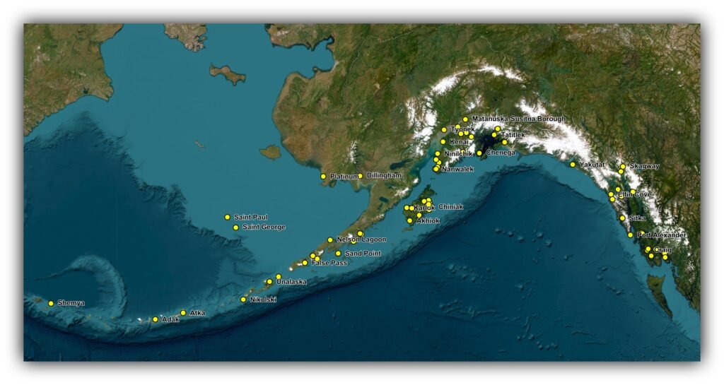
A new interactive map gives Alaskans a way to explore tsunami hazards in coastal communities. The map covers 66 communities and lets users select a location to view available hazard information.
Depending on the community, the map may show modeled inundation areas, estimated water depths, evacuation lines and assembly points. The amount of detail varies by location, so users should check the information available for their own community rather than assume every map contains the same features.
The Alaska Earthquake Center says that if an earthquake shakes the ground for more than 20 seconds and makes it difficult to stand, people in tsunami hazard areas should move to higher ground or a tsunami shelter. Do not wait for a warning if natural signs point to a tsunami.
Explore the map: Alaska Earthquake Center’s Tsunami Map App
5. Scientists Discover Nine New Deep-Sea Sponge Species in Alaska Waters
Science | Gulf of Alaska and Aleutian Islands
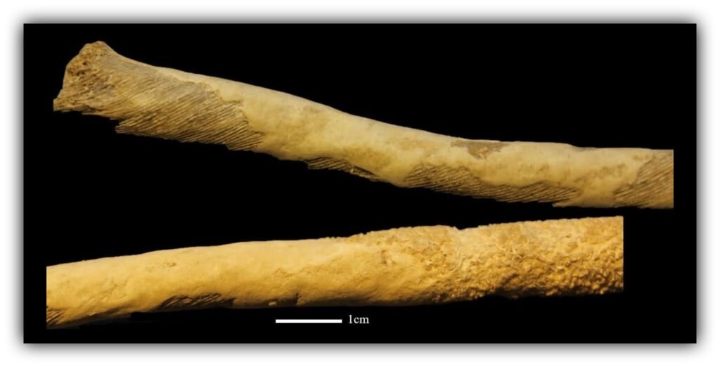
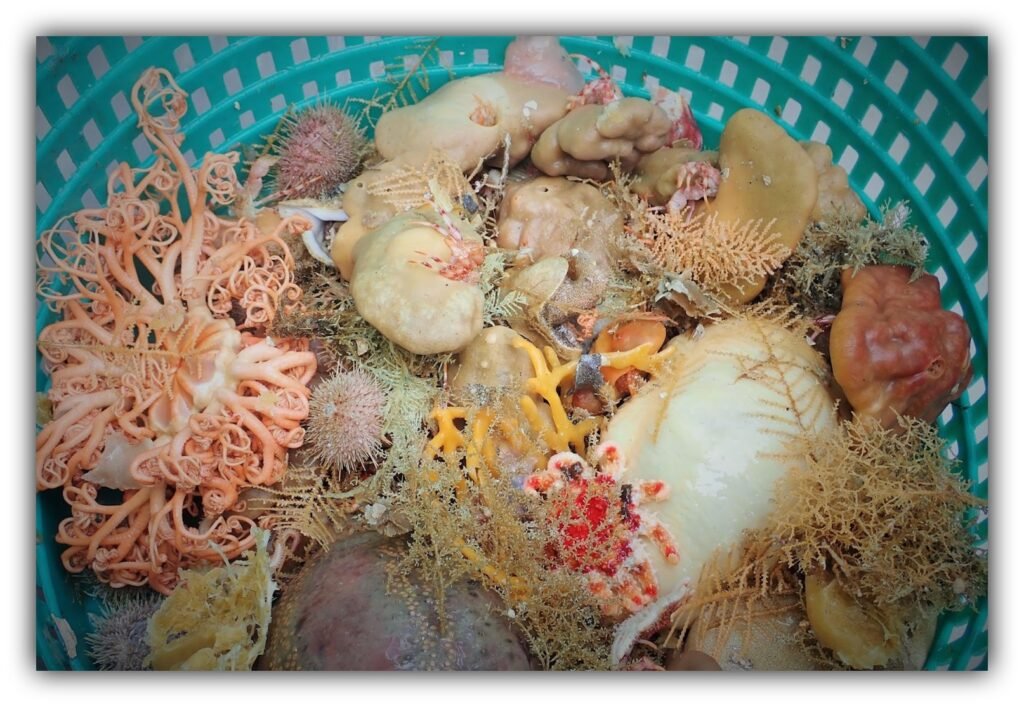
Scientists have identified nine sponge species previously unknown to science in samples collected from the Gulf of Alaska and Aleutian Islands. The specimens came from long-running bottom-trawl surveys that monitor groundfish and shellfish populations.
One discovery is especially unusual: a sponge from a group previously known only in tropical environments was found in Alaska’s cold waters. Another species was so distinctive that scientists created a new genus to classify it.
The findings bring the number of identified sponge species in Alaska to more than 232. Researchers say many more likely remain undiscovered in deep and difficult-to-reach areas of the seafloor.
The discovery also adds to the ongoing discussion about trawling. The same surveys that collect information about fisheries can bring up organisms that help scientists understand deep-sea ecosystems, while fishing gear can disturb fragile seafloor habitats.
Read more: NOAA Fisheries: Nine Species of Deep-Sea Sponges Discovered in Alaska
From the cost of keeping a roof over your head to the mysteries hiding beneath Alaska’s ocean, these five stories remind us that there’s always more happening in our state than meets the eye. Stay informed, stay curious, and we’ll see you next Friday for another Alaska Friday Five. Until then, keep asking questions.
Sources
- Household financial hardship: United for ALICE: Alaska
- Bering Sea storm: National Weather Service, Anchorage
- Pollock and salmon bycatch: Alaska Department of Fish and Game: Salmon Bycatch Data and NOAA Fisheries: Alaska
- Tsunami hazards: Alaska Earthquake Center: Interactive Tsunami Hazard Map
- New sponge species: NOAA Fisheries: Alaska Region
Stay informed, stay inspired, stay curious.
What do you feel about this post?

Like

Love

Happy

Haha

Sad