


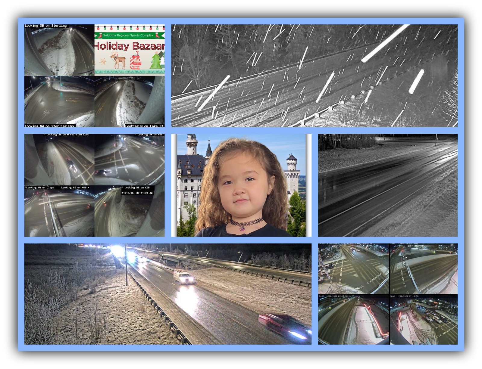

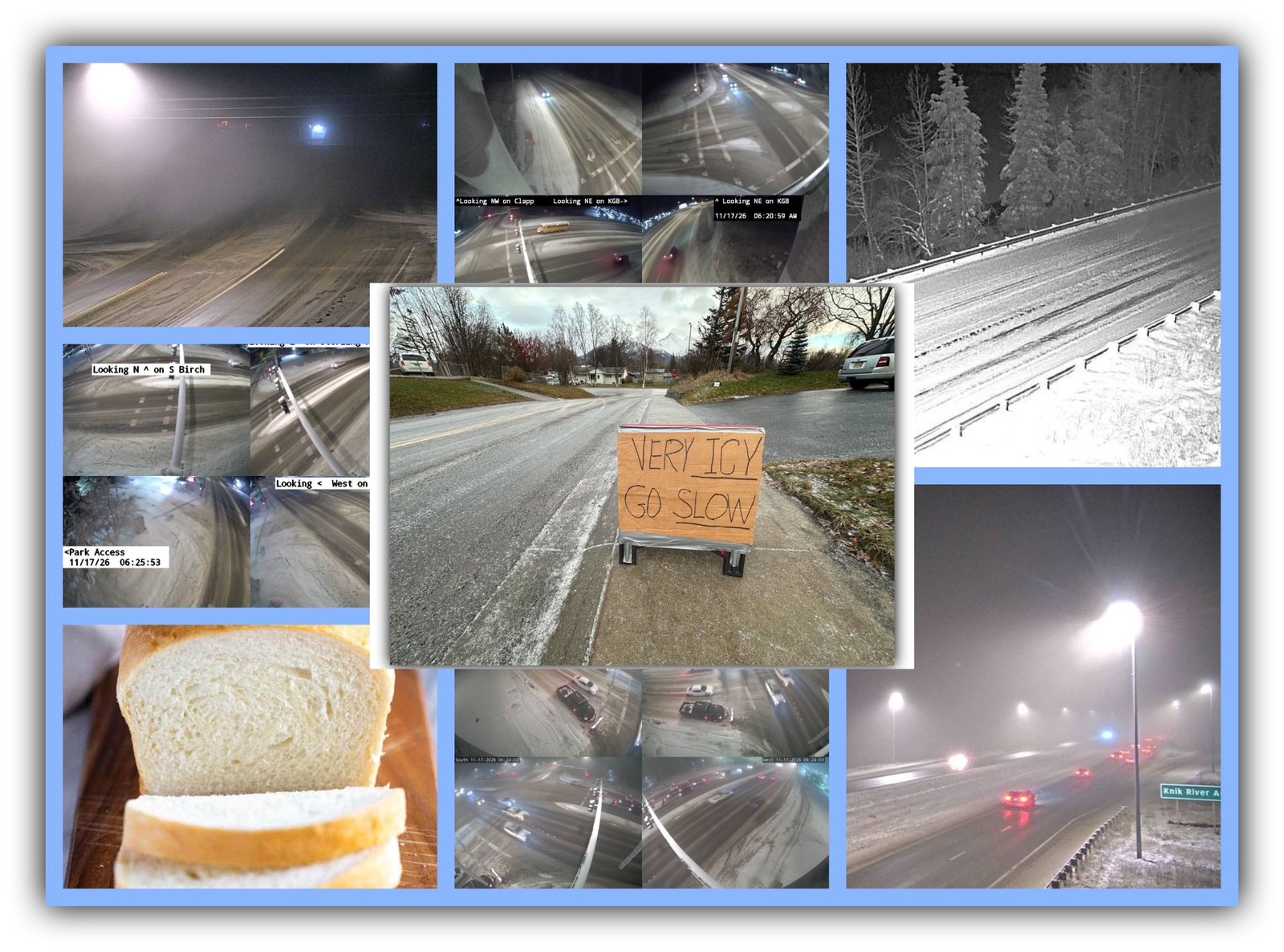
🚗💨 Memaw’s Arctic Roll: DON’T PASS GO UNTIL YOU CHECK THE ROADS! 🌧️❄️💅
Memaw’s Arctic Roll for Thursday, November 19, 2026
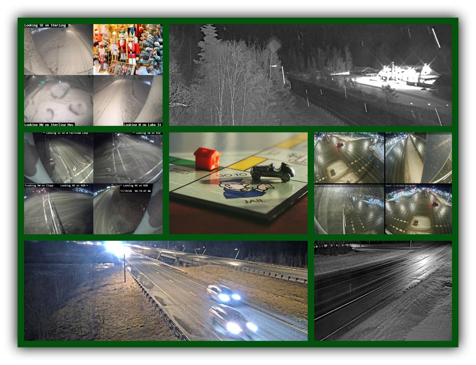
Good morning, my sweet Alaska property moguls! 💅🎩 Today is National Play Monopoly Day, and Memaw has a little advice before you roll those dice: You might get lucky landing on Boardwalk, but you won’t collect $200 for sliding through an icy intersection!

We’ve got quite a game board today, folks. Anchorage is expecting rain followed by snow. The Mat-Su is getting a messy rain-and-snow transition, and the Anchorage Hillside is facing some seriously gusty winds. Meanwhile, the Kenai Peninsula has a Flood Watch in effect through 6 p.m. for heavy rainfall and possible flooding.
And here’s the kicker: Some areas could see several inches of snow while others are dealing with water running across the roads.
Memaw’s favorite Monopoly token is the little race car. Naturally! 🚗✨ That pooch can stay home. Today, we’re keeping the wheels on the road, not in the ditch!
Buckle up, Alaska. Let’s see who’s collecting property and who’s paying the price for a bad roll of the weather dice!
🟢🟡🔴 Daily Verdict: Rain Today, Snow Tonight & Flooding Concerns on the Kenai
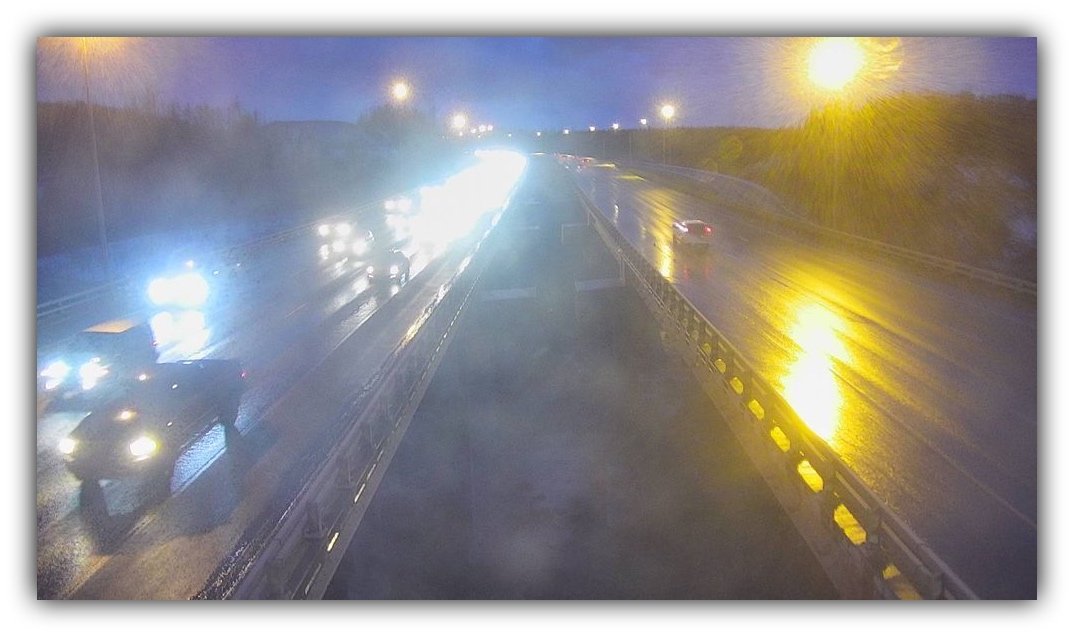
- Roads: Alaska 511 reports difficult conditions on the Sterling Highway between MP 156 and Homer Ferry Terminal Road. Wet pavement, slush, packed snow, standing water and possible hydroplaning are reported.
- Traffic: No active Alaska 511 alerts listed during the morning check. Check again before leaving.
- Sky: Rain and snow across Southcentral. Anchorage could pick up 1 to 3 inches of snow. Hillside and Girdwood areas face considerably higher snow totals.
- Headlights: ON! Rain, snow, fog and changing visibility make this a headlights-on kind of day.Alaska 511+3
⚠️ Southcentral Watch (Anchorage Bowl & Hillside)
Anchorage Hillside / Eagle River – Strong Winds and Heavy Snow
- Status: Strong wind conditions this morning through late morning.
- When: Thursday morning, with gusts decreasing during the afternoon.
- Where it hits: Anchorage Hillside, Upper Eagle River and Indian.
- Why: Southeast winds 15–30 mph, with gusts reaching 60 mph and decreasing to 40 mph this afternoon. Rain and snow are likely, with up to 7 inches of snow possible.
Additional concern: Girdwood and Turnagain Arm
- Rain this morning, changing to rain and snow this afternoon.
- Up to 8 inches of snow possible.
- East winds 10–15 mph, gusting to 45 mph.
💅 Reality check: This is not a routine wet commute. High winds can make driving difficult, especially for high-profile vehicles. Hillside drivers should prepare for heavy, changing precipitation and rapidly deteriorating conditions. Give yourself extra time and reconsider unnecessary trips during the strongest gusts.National Weather Service+1
🌊 Kenai Peninsula Flood Watch
Seward, Southern Kenai Mountains and Southwest Kenai Peninsula
- Status: FLOOD WATCH.
- When: Through 6:00 p.m. Thursday.
- Where it hits: Seward, Anchor Point, Homer, Ninilchik and surrounding areas.
- Why: An atmospheric river is bringing substantial rainfall to the peninsula.
Expected rainfall:
- Seward: 2 to 4 inches between Wednesday morning and Thursday afternoon.
- Southwest Kenai Peninsula: 2 to 3 inches, especially around Anchor Point, falling on snow.
Potential problems include:
- Rising rivers, creeks and streams.
- Localized flooding.
- Water ponding on roadways.
- Poor drainage and clogged storm drains.
- Flooding in low-lying areas.
💅 Reality check: Don’t drive through floodwater. Avoid flooded roads and keep an eye on streams and drainage areas. Heavy rain falling on snow can create a dangerous runoff situation.
The Flood Watch is a serious heads-up, not a guarantee that every community will flood. National Weather Service+1
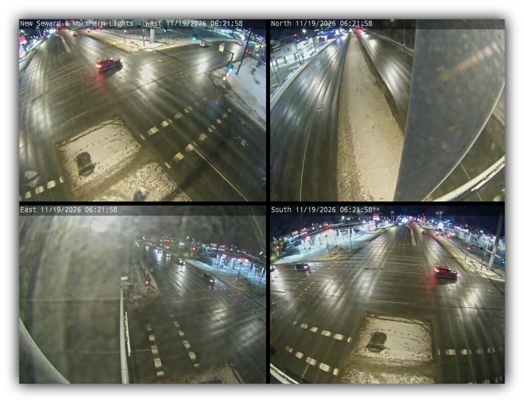
🌃 Anchorage City Commute
NWS Merrill Field reference | Official forecast high: 37°F | Overnight low: 25°F
| Time of Day | Hi Temperatures (°F) | Lo Temperatures (°F) | Driving Tips | Road Risk Level |
|---|---|---|---|---|
| Morning | 37 | 34 | Rain possible; wet intersections and reduced visibility. | 🟡 Moderate |
| Afternoon | 37 | 32 | Rain and snow likely; snow accumulation possible. | 🟡 Moderate |
| Evening | 33 | 25 | Snow likely early, then tapering. Watch for slick pavement. | 🟡 Moderate |
Sunrise: 9:16 a.m.
Sunset: 4:12 p.m.
Daylight: 6 hours, 56 minutes.
Anchorage driving reminders:
- Watch intersections, bridges and shaded pavement.
- Expect rain to change to snow during the afternoon.
- Keep your headlights on.
- Leave extra stopping distance.
- Hillside drivers should pay particular attention to the strong-wind forecast.
🌌 Aurora Forecast for Tonight
- UAF daily forecast: Quiet activity.
- Daily Kp: 3.
- 6 p.m.: Kp 3.
- 9 p.m. to midnight: Kp 2.
- Cloud cover: Mostly cloudy, making viewing difficult unless skies clear.
- Moon: First Quarter 🌓
UAF’s forecast discussion indicates moderate aurora displays could be visible overhead as far south as Talkeetna if skies cooperate.
💅 Memaw’s verdict: The northern lights may be holding a winning hand, but those clouds are trying to collect the rent! Geophysical Institute
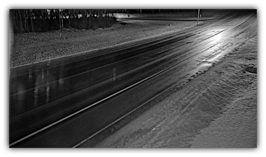
🚗✨ Parks Highway
NWS reference communities: Wasilla and Talkeetna
Official forecast temperatures:
- Wasilla: High 40°F / Low 26°F
- Talkeetna: High 33°F / Low 25°F
| Time of Day | Hi Temperatures (°F) | Lo Temperatures (°F) | Driving Tips | Road Risk Level |
|---|---|---|---|---|
| Morning | 40 Wasilla / 33 Talkeetna | 26 / 25 | Rain possible around Wasilla; cloudy in Talkeetna. Watch wet pavement. | 🟡 Moderate |
| Afternoon | 40 / 33 | 26 / 25 | Rain changing to snow near Wasilla. Snow possible after 3 p.m. near Talkeetna. | 🟡 Moderate |
| Evening | 40 / 33 | 26 / 25 | Snow likely overnight in both areas. Watch for accumulating snow and reduced traction. | 🟡 Moderate |
Sunrise: 9:26 a.m. (Talkeetna)
Sunset: 4:04 p.m.
Daylight: 6 hours, 38 minutes.
Today’s weather details:
- Wasilla: Northeast winds 15–20 mph, gusting to 30 mph. Up to 2 inches of snow possible in the Lower Matanuska Valley.
- Talkeetna: North winds 5–10 mph, with a 50% chance of snow after 3 p.m.
- Tonight: Snow likely in both areas.
Driving reminders:
- Watch for rain changing to snow.
- Be alert for gusty crosswinds.
- Expect changing traction as temperatures fall.
- Watch for snow accumulation after dark.
🌌 Aurora Forecast: Daily Kp 3. If skies clear, moderate displays may be visible as far south as Talkeetna.National Weather Service+1
🚙✨ Glenn Highway
Anchorage-to-Palmer corridor | Anchorage and Lower Mat-Su forecast references
Official forecast temperatures: Anchorage 37°F / 25°F; Wasilla 40°F / 26°F.
| Time of Day | Hi Temperatures (°F) | Lo Temperatures (°F) | Driving Tips | Road Risk Level |
|---|---|---|---|---|
| Morning | 37 Anchorage / 40 Wasilla | 34 / 35 | Rain and snow possible. Watch wet pavement and gusty winds. | 🟡 Moderate |
| Afternoon | 37 / 40 | 32 / 32 | Rain changing to snow. Expect reduced traction and possible accumulation. | 🟡 Moderate |
| Evening | 33 / 40 | 25 / 26 | Snow likely early in the evening; watch for slick spots. | 🟡 Moderate |
Sunrise: 9:17 a.m. (Wasilla reference)
Sunset: 4:07 p.m.
Daylight: 6 hours, 50 minutes.
Alaska 511 camera checks:
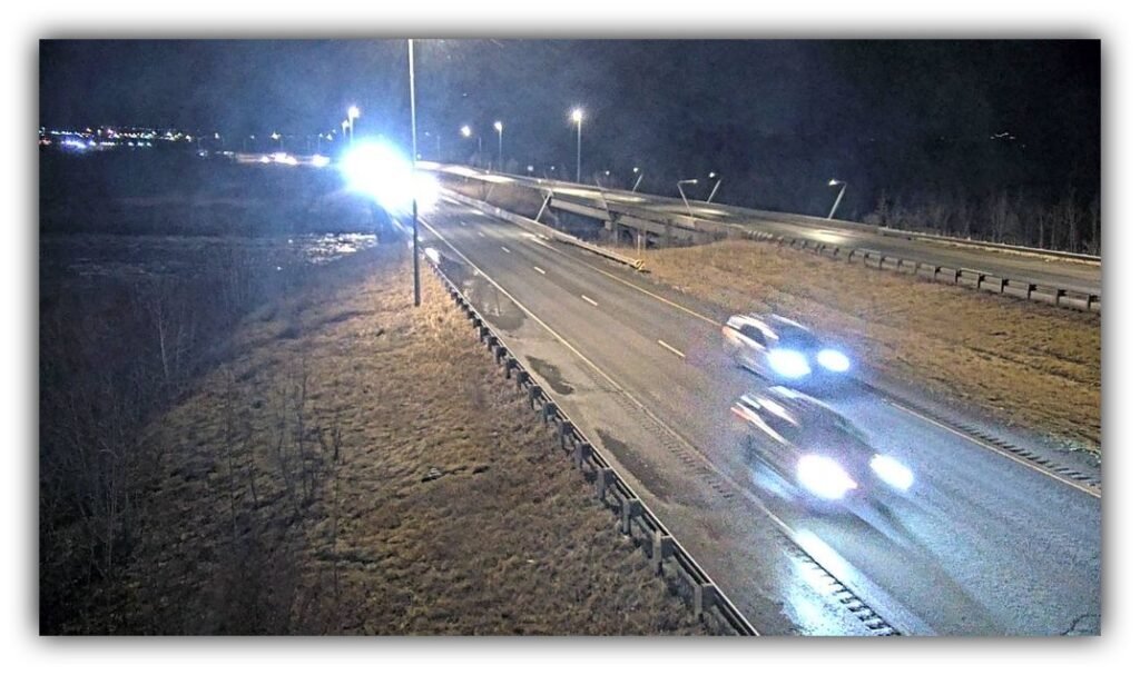
- Parks/Glenn Highway interchange: 41°F air temperature, 38°F pavement temperature, east wind 24 mph. Camera update: 1:10 a.m.
- Glenn Highway MP 24.5 at Thunderbird Falls: 42°F air temperature, northeast wind 9 mph. Camera update: 1:50 a.m.
- Glenn Highway MP 117 at Gunsight Mountain: 29°F air temperature, 20°F surface temperature, north wind 5 mph. Camera update: 4:10 a.m.
Driving reminders:
- Watch for colder pavement farther north.
- Don’t let warmer Anchorage temperatures fool you.
- Keep your distance from other vehicles.
- Be prepared for snow as the afternoon progresses.
🌌 Aurora Forecast: Kp 3 daily forecast. Cloud cover may interfere with viewing.511.alaska.gov+4
🚙✨ Seward Highway
NWS reference communities: Seward and Anchorage
Flood Watch through 6 p.m.
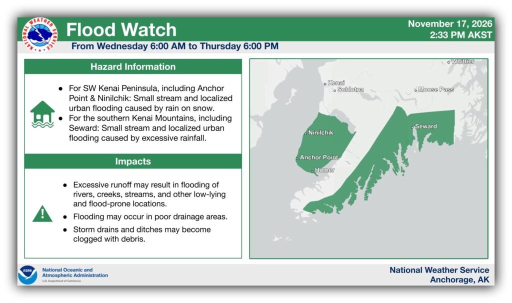
Flood graphic courtesy of the National Weather Service.
Official forecast temperatures: Seward 40°F / 28°F; Anchorage 37°F / 25°F.
| Time of Day | Hi Temperatures (°F) | Lo Temperatures (°F) | Driving Tips | Road Risk Level |
|---|---|---|---|---|
| Morning | 40 Seward / 37 Anchorage | 38 / 34 | Heavy rain possible, gusty winds and water on pavement. | 🔴 High |
| Afternoon | 40 / 37 | 28 / 32 | Rain before 3 p.m., then rain and snow likely. Watch for ponding and runoff. | 🔴 High |
| Evening | 40 / 37 | 28 / 25 | Snow possible early; watch for slush, water and slick pavement. | 🟡 Moderate |
Sunrise: 9:07 a.m. (Seward)
Sunset: 4:18 p.m.
Daylight: 7 hours, 11 minutes.
Alaska 511 camera check:
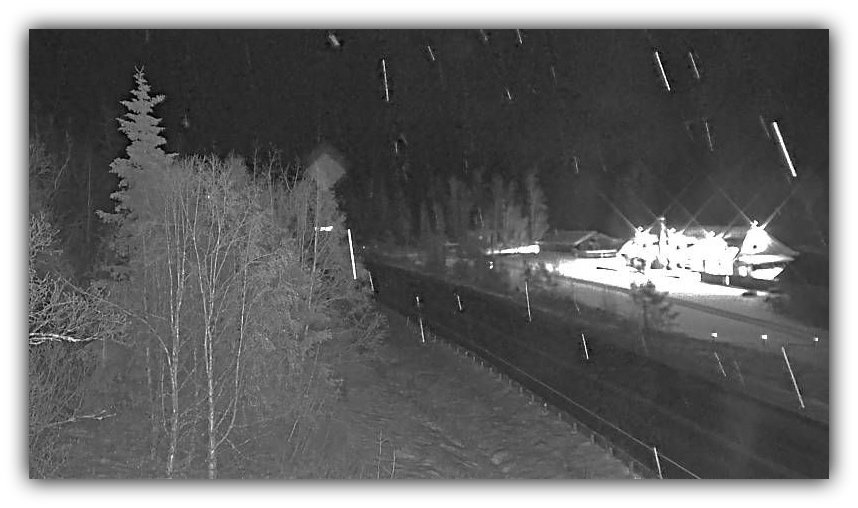
– Seward Highway MP 78.9 at Portage Glacier Road: 39°F air temperature, southeast wind 16 mph. Camera update: 1:40 a.m.
Driving reminders:
- Flooding and water ponding are major concerns today.
- Watch streams, drainage areas and low-lying road sections.
- Expect changing precipitation as you travel north.
- Never drive through floodwater.
- Give yourself extra stopping distance.
🌌 Aurora Forecast: Kp 3 daily forecast. Clouds and precipitation are the biggest viewing obstacles.511.alaska.gov+2
🚗✨ Sterling Highway
NWS reference communities: Kenai and Homer
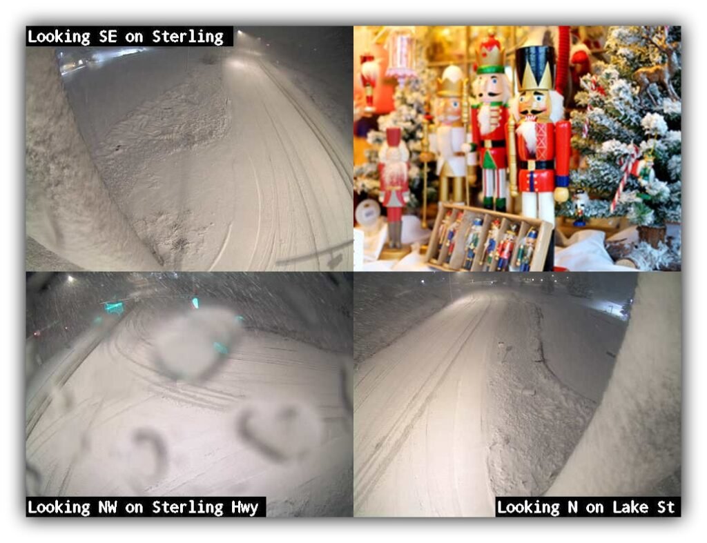
511 reports difficult conditions
Official forecast temperatures:
- Kenai: High 37°F / Low 33°F
- Homer: High 34°F / Low 31°F
Alaska 511: Sterling Highway MP 156 to Homer Ferry Terminal Road
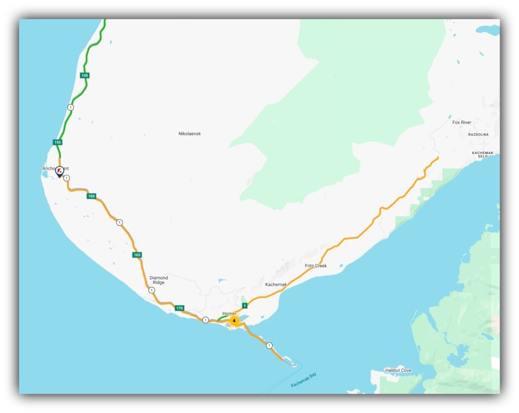
Map and camera images courtesy of Alaska 511.
- Overall status: Difficult.
- Surface conditions: Melting snow, packed snow, plowed snow, slush, snow on roadway, surface water hazard and wet surface.
- Atmospheric conditions: Heavy rain, heavy snow, poor visibility, rain, mixed rain and snow, whiteout and winter storm conditions.
- Warnings: Possible hydroplaning, ice on bridges and overpasses, slippery surfaces, headlights required, reduce speed and stay 200 feet behind snowplows.
- Reported temperatures: 35°F to 40°F.
- Reported snow range: 0 to 6 inches.
- Last updated: 4:18 a.m. Thursday.
📍 Where: Kenai Central High School Commons and Gym
📅 When: Friday, November 27, and Saturday, November 28, 2026
🕙 Hours: 10 a.m. to 5 p.m. both days
Come browse, meet the holiday shopping challenge and support local artists and makers while finding gifts you won’t see in every store!
Vendor booth reservations: Kenai Art Center
Event information courtesy of Kenai Art Center.
| Time of Day | Hi Temperatures (°F) | Lo Temperatures (°F) | Driving Tips | Road Risk Level |
|---|---|---|---|---|
| Morning | 37 Kenai / 34 Homer | 33 / 33 | Rain and snow; watch for poor visibility, slush and standing water. | 🔴 High |
| Afternoon | 37 / 34 | 30 / 31 | Snow follows rain. Watch bridges, curves and changing pavement. | 🔴 High |
| Evening | 37 / 34 | 30 / 31 | Slick spots possible as temperatures fall. Reduce speed. | 🟡 Moderate |
Sunrise: 9:17 a.m. (Kenai)
Sunset: 4:22 p.m.
Daylight: 7 hours, 5 minutes.
Driving reminders:
- Headlights on.
- Reduce speed.
- Watch for hydroplaning.
- Be especially careful on bridges and overpasses.
- Stay at least 200 feet behind snowplows.
- Don’t assume wet pavement is safe pavement.
🌌 Aurora Forecast: Daily Kp 3. Homer may see clearer skies later tonight, but don’t count on a guaranteed show.National Weather Service+1
🚜💨 Knik Goose Bay Road
Wasilla Airport reference forecast
Official forecast high: 40°F
Official forecast low: 26°F
| Time of Day | Hi Temperatures (°F) | Lo Temperatures (°F) | Driving Tips | Road Risk Level |
|---|---|---|---|---|
| Morning | 40 | 35 | Rain possible; northeast winds 15–20 mph, gusting to 30 mph. | 🟡 Moderate |
| Afternoon | 40 | 32 | Rain changing to snow; watch for slush and reduced traction. | 🟡 Moderate |
| Evening | 40 | 26 | Snow likely early; watch for slick pavement as temperatures fall. | 🟡 Moderate |
Sunrise: 9:18 a.m. (Knik/Wasilla reference)
Sunset: 4:09 p.m.
Daylight: 6 hours, 51 minutes.
Driving reminders:
- Watch for gusty crosswinds.
- Expect rain-to-snow transitions.
- Be careful on curves and at intersections.
- Leave plenty of room to brake.
- Watch for snow accumulation tonight.
🌌 Aurora Forecast: Kp 3 daily forecast. Cloud cover remains a concern.National Weather Service+1
🛻💨 Fairview Loop
Wasilla-area weather reference
Fairview Loop gets the same general weather pattern as the Lower Matanuska Valley today.
- High: 40°F
- Overnight low: 26°F
- Morning: Chance of rain and snow.
- Afternoon: Snow with a chance of rain.
- Evening: Snow likely, with 1–3 inches possible overnight in the Lower Mat-Su.
- Wind: East 10–25 mph.
Sunrise: 9:18 a.m.
Sunset: 4:09 p.m.
Daylight: 6 hours, 51 minutes.
Driving reminder: Watch for wet pavement turning slushy, gusty winds and reduced traction as snow moves in.
🎩 Memaw’s Parting Words
Well, sugarplums, today’s Monopoly lesson is simple: You can pass Go, collect $200, buy Boardwalk and even get out of jail free. But there isn’t a Get Out of a Ditch Free card when you underestimate Alaska’s roads!

Image courtesy of BeFunky.com
Memaw’s little race car is staying on the board until the worst of this weather passes. You should consider doing the same if your trip isn’t essential.
Keep those headlights on, slow down, give the snowplows plenty of room, and please don’t try to drive through floodwater.
And remember, my little property moguls: It’s perfectly fine to lose a turn in Monopoly. It’s a whole different story when you lose control of your vehicle!
Until tomorrow, drive alive from dawn to night, sugar! 🚗✨💖
📡 Today’s Primary Sources
- NWS Anchorage Forecast Office
- NWS Anchorage Zone Forecasts
- NWS Anchorage Hourly Forecast
- NOAA Weather
- Alaska 511 Road Conditions and Cameras
- UAF Geophysical Institute Aurora Forecast
- Time and Date Sunrise/Sunset
💅✨
What do you feel about this post?

Like

Love

Happy

Haha

Sad