
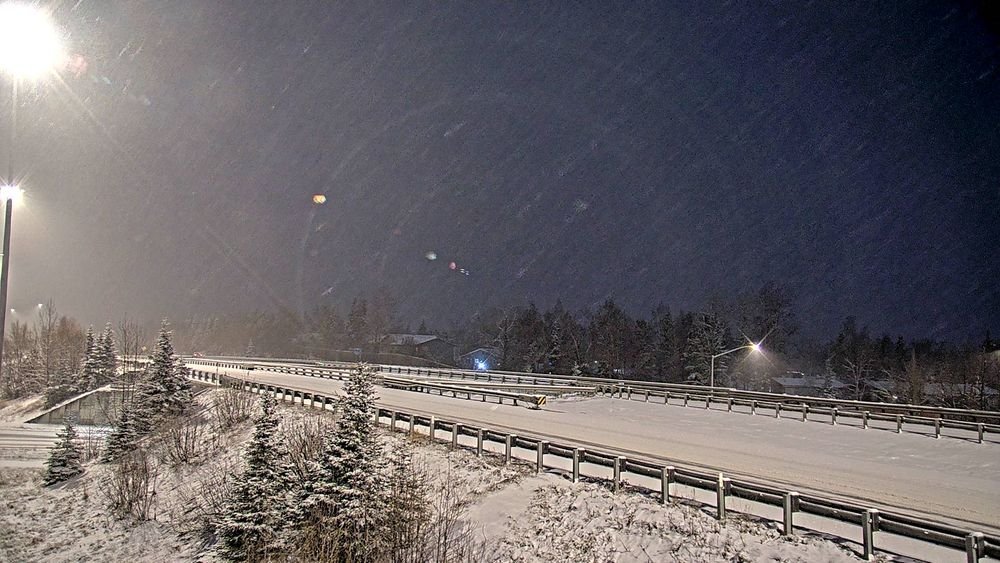
💅👑 ROYAL WARNING: Alaska’s Roads Are No Fairy Tale Today!
Memaw’s Arctic Roll for Wednesday, November 18, 2026
☕️ Good morning, my royal sugarplums! 💅👑
Today is National Princess Day and a girl doesn’t need a castle, a glass slipper or a royal title to be a princess. A kind heart, a little courage, a generous spirit and the ability to light up a room will do just fine. And … this Grandma happens to know one pretty special princess who checks all those boxes!

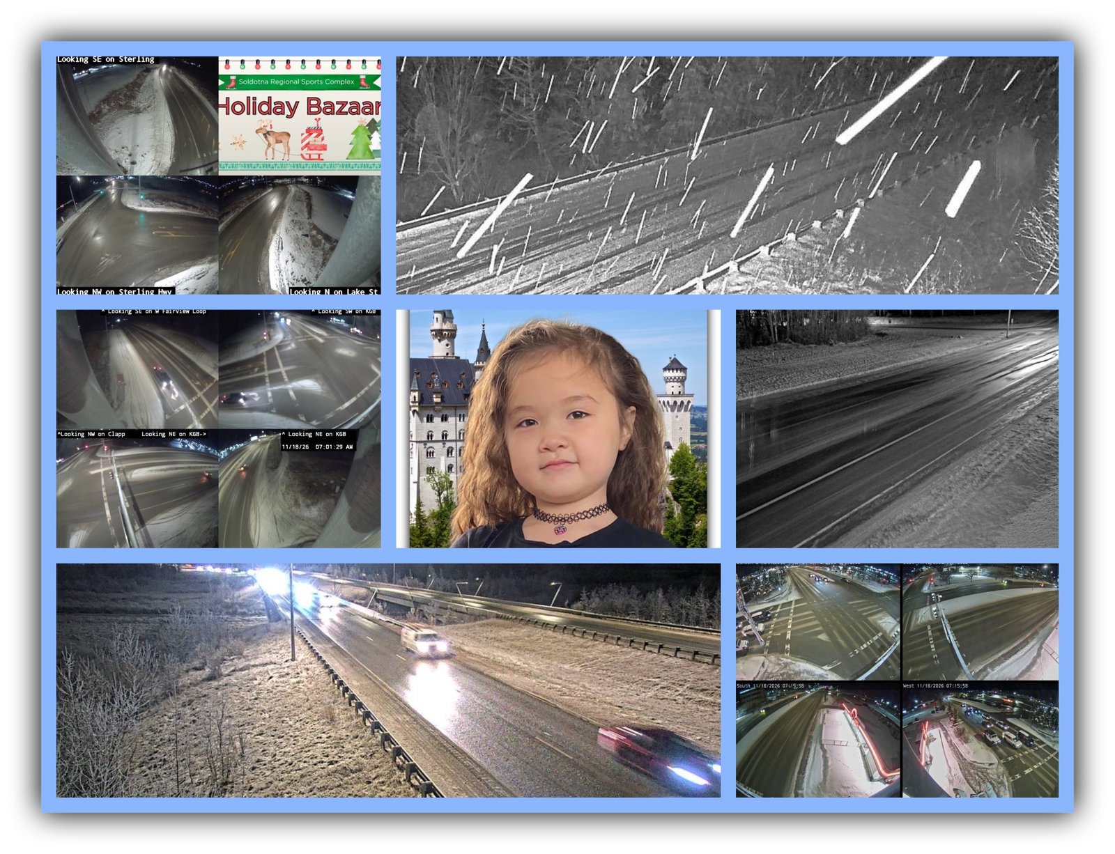
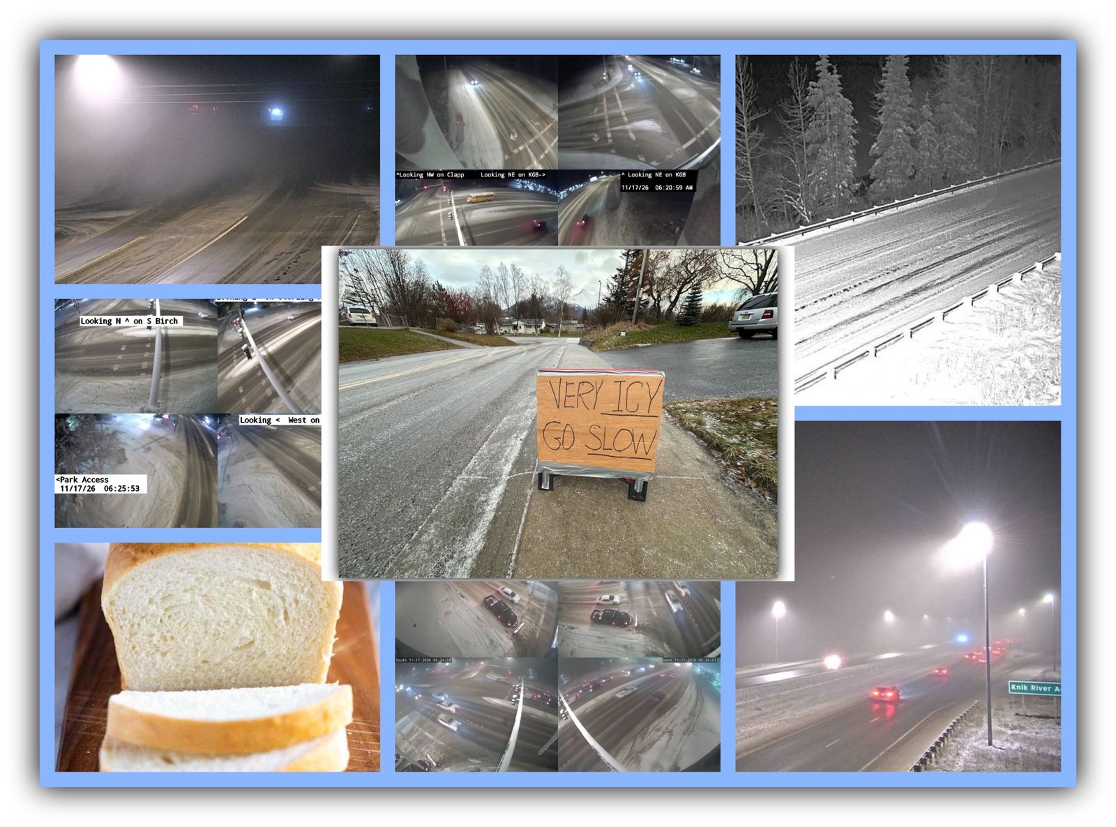
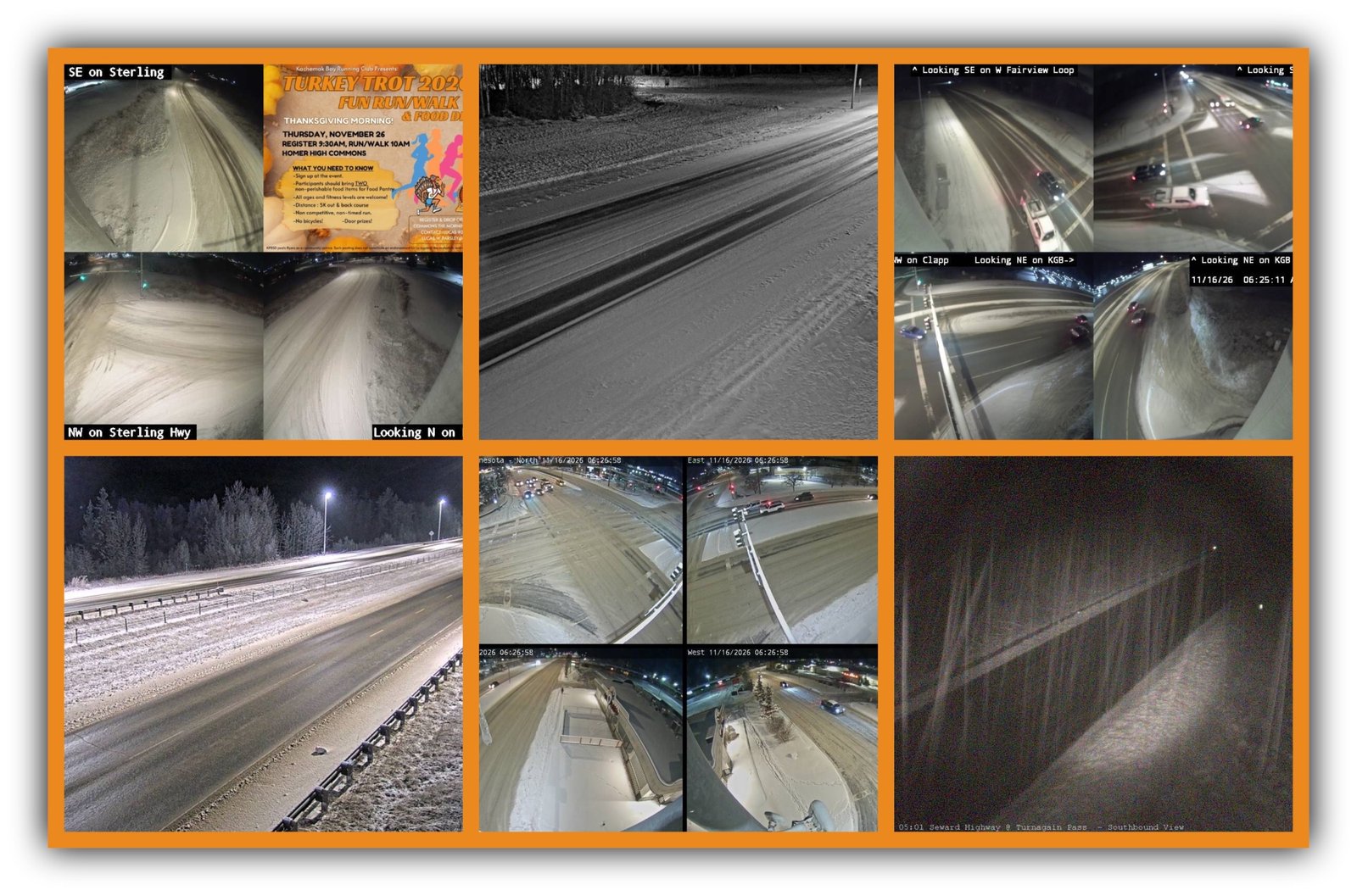
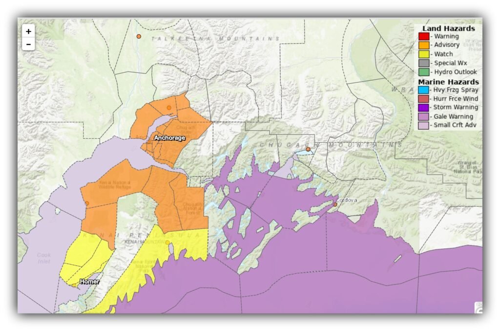
Now, while we’re celebrating royalty, Alaska’s roads appear to have declared themselves the wicked stepmother this morning. We’ve got freezing rain, rain falling on ice, winter weather advisories and some serious rain heading toward the Kenai Peninsula.
So straighten that crown, buckle that seat belt and keep those windshield wipers handy. Today’s commute deserves your full attention. Memaw has the 411 on the 511, and this is one morning when a little extra caution could save you a whole lot of trouble. 🚗💨
WINTER WEATHER ADVISORY THROUGH 4 PM
FLOOD WATCH THROUGH THURSDAY
The biggest concerns today:
- Anchorage, Eagle River, the Lower Mat-Su and parts of the Kenai Peninsula: freezing rain and rain on ice, with potentially very slick roads.
- Turnagain Pass and Summit Pass: 4 to 7 inches of snow possible before precipitation changes to rain.
- Seward: 2 to 4 inches of rain expected through Thursday afternoon.
- Southwest Kenai Peninsula: 2 to 3 inches of rain falling on snow, raising the risk of localized flooding.
These are not ordinary wet-road conditions. The morning commute is the danger window, even where temperatures have climbed above freezing.
💅🚦 Daily Verdict: ROYAL CAUTION! Ice, Rain & a Kenai Flood Watch
🔴 Roads: HIGH CAUTION
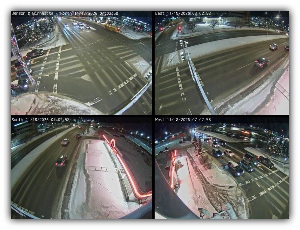
- Roads: Freezing rain and rain on ice across Anchorage, Eagle River, the Lower Mat-Su and northern Kenai Peninsula. Conditions should gradually improve as temperatures rise, but don’t assume the pavement has caught up.
- Traffic: Alaska 511 interactive incident feed did not expose its live incident list during this pull.
- Sky: Mostly cloudy to overcast across much of Southcentral. Rain and mixed precipitation move through.
- Headlights: Limited daylight means more time driving in darkness. Check that all headlights, taillights, and brake lights are working, keep lenses clean, and watch for pedestrians and wildlife. 💡🚗
⚠️ Southcentral Watch (Anchorage Bowl & Hillside)
Anchorage Hillside, Eagle River and surrounding commuter roads – Freezing Rain and Rain on Ice
- Status: Winter Weather Advisory; slick and potentially very difficult travel.
- When: Until 4:00 PM Wednesday.
- Where it hits: Anchorage, all elevations; Eagle River; Hillside roads; O’Malley, Huffman and Rabbit Creek corridors.
- Why: Freezing rain and rain falling on frozen surfaces. A light glaze of ice is possible.
💅 Reality check: A wet-looking road can still be icy. Don’t let a thermometer above 32°F convince you the pavement is safe.
The advisory also covers the Lower Matanuska Valley, northwest and interior Kenai Peninsula, and Turnagain Pass.
Turnagain Pass and Summit Pass: Expect 4 to 7 inches of snow before precipitation changes to rain, according to this morning’s updated advisory information.
Flood Watch – Seward and Southwest Kenai Peninsula
- Status: Flood Watch.
- When: Wednesday morning through Thursday afternoon, until 6 PM Thursday.
- Where it hits: Seward, southern Kenai Mountains, Anchor Point, Ninilchik, Clam Gulch and Homer.
- Why: Heavy rain, including rain falling on snow, could produce excessive runoff, localized flooding, ponding and overflowing small streams.
💅 Reality check: Never drive through standing or moving floodwater. Water depth and road damage can be difficult to judge.
Seward could receive 2 to 4 inches of rain. The southwest Kenai Peninsula is forecast to receive 2 to 3 inches, particularly around Anchor Point. The National Weather Service’s forecast discussion also identifies the atmospheric river and associated flooding concerns.

🌃✨ Anchorage City Commute
NWS Merrill Field reference forecast | Wednesday, November 18
Official forecast high: 35°F
Official forecast low: 32°F
| Time of Day | Hi Temperatures (°F) | Lo Temperatures (°F) | Driving Tips | Road Risk Level |
|---|---|---|---|---|
| Morning | 35 | 29 | Freezing rain, slick intersections and icy shaded pavement | 🔴 High |
| Afternoon | 35 | 32 | Mixed precipitation changing toward rain; allow stopping room | 🟡 Moderate |
| Evening | 35 | 32 | Rain likely overnight; watch for standing water and refreezing | 🟡 Moderate |
Sunrise: 9:14 AM
Sunset: 4:14 PM
Daylight: 7 hours, 1 minute
Anchorage driving reminders:
- Give yourself extra room at intersections.
- Watch bridges, ramps, shaded areas and hills.
- Don’t use cruise control on slick pavement.
- Keep windshield washer fluid topped off.
- Watch pedestrians and sidewalks. They’re dealing with the same ice.
🚗✨ Parks Highway
Talkeetna Airport reference | Forecast high 32°F / low 31°F
| Time of Day | Hi Temperatures (°F) | Lo Temperatures (°F) | Driving Tips | Road Risk Level |
|---|---|---|---|---|
| Morning | 32 | 29 | Snow likely; watch for slick pavement and reduced traction | 🟡 Moderate |
| Afternoon | 32 | 31 | Snow possible, cloudy, north winds 5–10 mph | 🟡 Moderate |
| Evening | 32 | 31 | Snow likely before 3 AM, then possible freezing rain | 🔴 High |
Sunrise: 9:23 AM
Sunset: 4:06 PM
Daylight: 6 hours, 43 minutes
Aurora Forecast for Tonight: UAF live forecast Kp 4, moderate activity. Clouds and precipitation are likely to interfere with viewing.
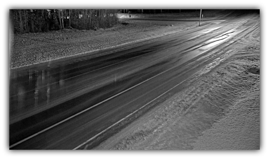
Driving tips: Don’t mistake a thin coating of snow for harmless decoration. Watch shaded pavement, curves and intersections.
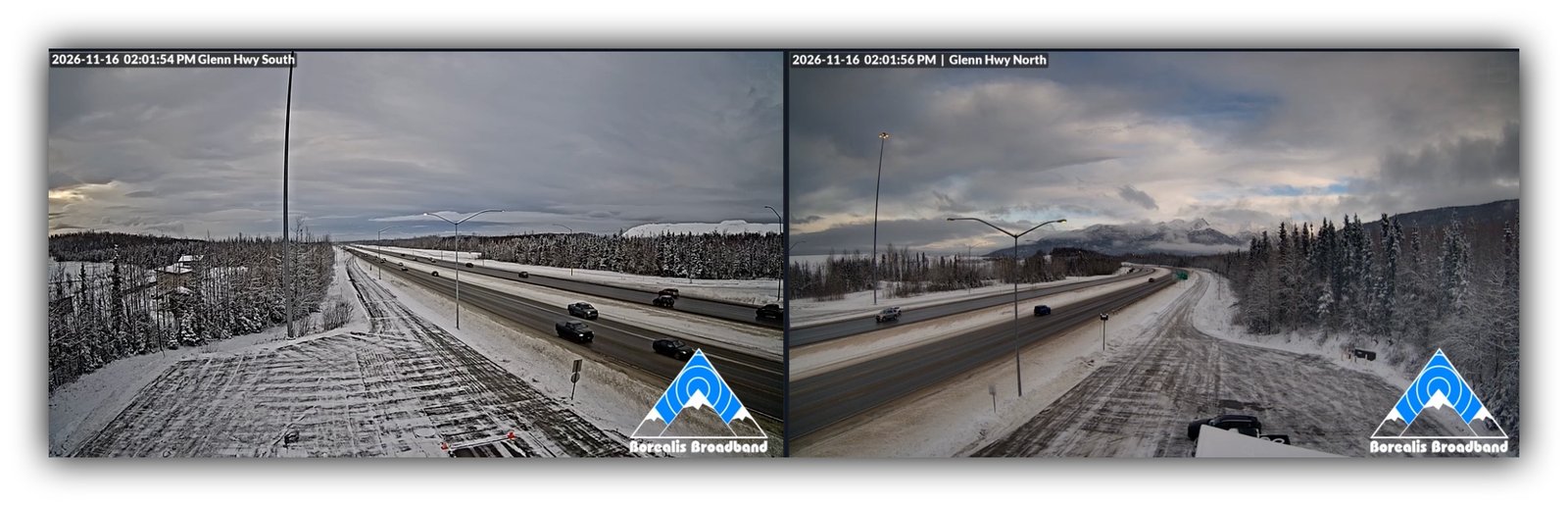
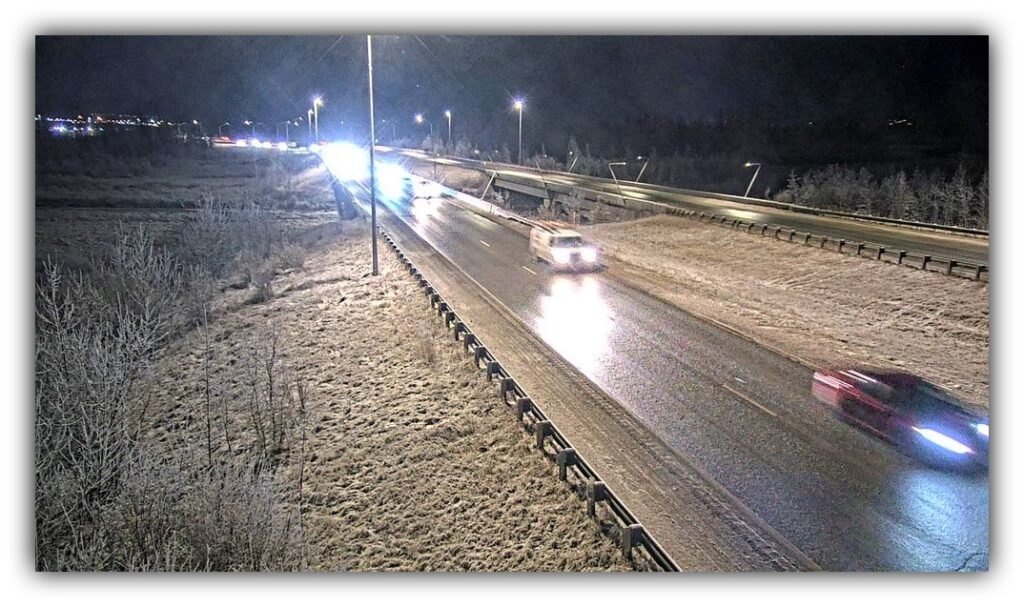
🚙✨ Glenn Highway
Palmer reference
Forecast high 37°F / low 29°F Wednesday, November 18
Winter Weather AdvisoryWednesday, Nov. 18, 9:00 AM through Friday, Nov. 20, 3:00 AM
| Time of Day | High Temperature | Low Temperature | Driving Tips | Road Risk Level |
|---|---|---|---|---|
| Morning | 37°F | 30°F | Light snow early. Watch for slick pavement and changing conditions. | 🔴 High |
| Afternoon | 37°F | 29°F | Snow tapers off, with a slight chance of freezing rain or rain. Watch for ice beneath wet pavement. | 🔴 High |
| Evening | 37°F | 29°F | Mostly cloudy, with winter weather impacts continuing. Be alert for changing precipitation. | 🟡 – 🔴 Moderate to High |
Glenn Highway outlook:
- Thursday, Nov. 19: High 38°F, low 31°F. Rain likely during the day, changing to rain and snow Thursday night, with snow likely later.
- Friday, Nov. 20: High 31°F, low 22°F. Colder air moves in, bringing another chance for slick and potentially icy conditions.
Memaw’s Glenn Highway reminder: Don’t let temperatures hovering near or above freezing fool you. Wet pavement can turn slick as temperatures fall, and changing precipitation can make driving conditions unpredictable. Give yourself extra time and plenty of stopping distance.
Source: National Weather Service Palmer Point Forecastg pavement conditions between Wasilla, Palmer and the Glenn Highway corridor. Warmer air does not guarantee ice-free roads.
🚛✨ Seward Highway
Seward Airport reference | Forecast high 42°F / low 37°F
FLOOD WATCH
| Time of Day | Hi Temperatures (°F) | Lo Temperatures (°F) | Driving Tips | Road Risk Level |
|---|---|---|---|---|
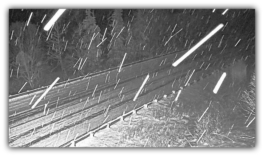
| Morning | 42 | 39 | Rain, snow at Turnagain Pass, possible slick surfaces | 🔴 High |
| Afternoon | 42 | 37 | Heavy rain developing; watch drainage and ponding | 🔴 High |
| Evening | 42 | 37 | Heavy rain, strong southerly winds and possible flooding | 🔴 High |
Sunrise: 9:04 AM
Sunset: 4:20 PM
Daylight: 7 hours, 16 minutes
Aurora Forecast for Tonight: Kp 4, moderate activity. Heavy rain and clouds make viewing unlikely.
Driving tips:
- Watch for water across the roadway.
- Expect changing conditions through Turnagain Pass.
- Seward could receive 2 to 4 inches of rain through Thursday afternoon.
- Tonight’s forecast calls for southerly winds around 30 mph, with gusts up to 40 mph.
💅 Memaw’s warning: This is a serious rain event. Don’t underestimate water running across the highway or pooling in low spots.
🚕✨ Sterling Highway
Kenai Airport reference | Forecast high 38°F / low 34°F
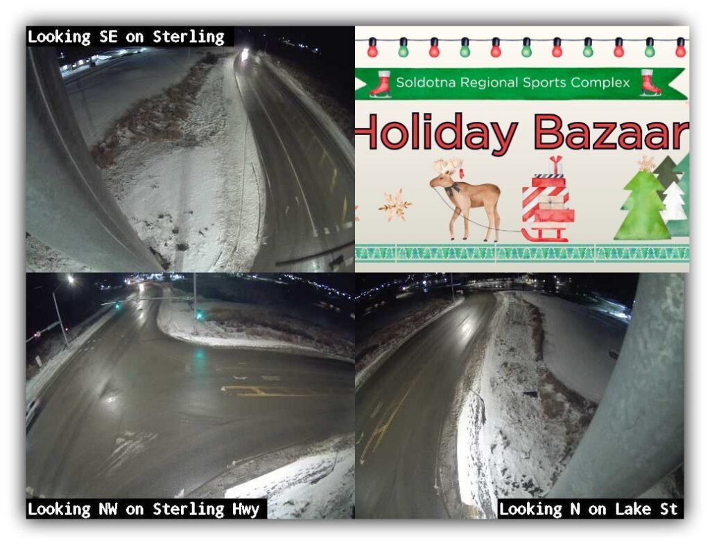
📅 November 20–22
⏰ 10 a.m. – 4 p.m. daily
📍 Soldotna Sports Complex
538 Arena Ave., Soldotna, AK 99669
Support local makers, discover one-of-a-kind gifts, and get a little holiday shopping done while spreading some Christmas cheer! 🎅🛍️
Interested in booth space? Call Soldotna Parks & Recreation at 907-714-1214.
Event details: Soldotna Sports Complex Holiday Bazaar
| Time of Day | Hi Temperatures (°F) | Lo Temperatures (°F) | Driving Tips | Road Risk Level |
|---|---|---|---|---|
| Morning | 38 | 32 | Freezing rain and snow changing to rain; slick pavement | 🔴 High |
| Afternoon | 38 | 34 | Rain likely; watch standing water and poor drainage | 🟡 Moderate |
| Evening | 38 | 34 | Rain continues; gusty conditions possible | 🟡 Moderate |
Sunrise: 9:15 AM
Sunset: 4:24 PM
Daylight: 7 hours, 9 minutes
Aurora Forecast for Tonight: Kp 4, moderate activity. Clouds are expected to limit visibility.
Driving tips: The morning transition from freezing rain to rain is the concern. Watch intersections, bridges and shaded stretches. Conditions can change quickly as you travel south.
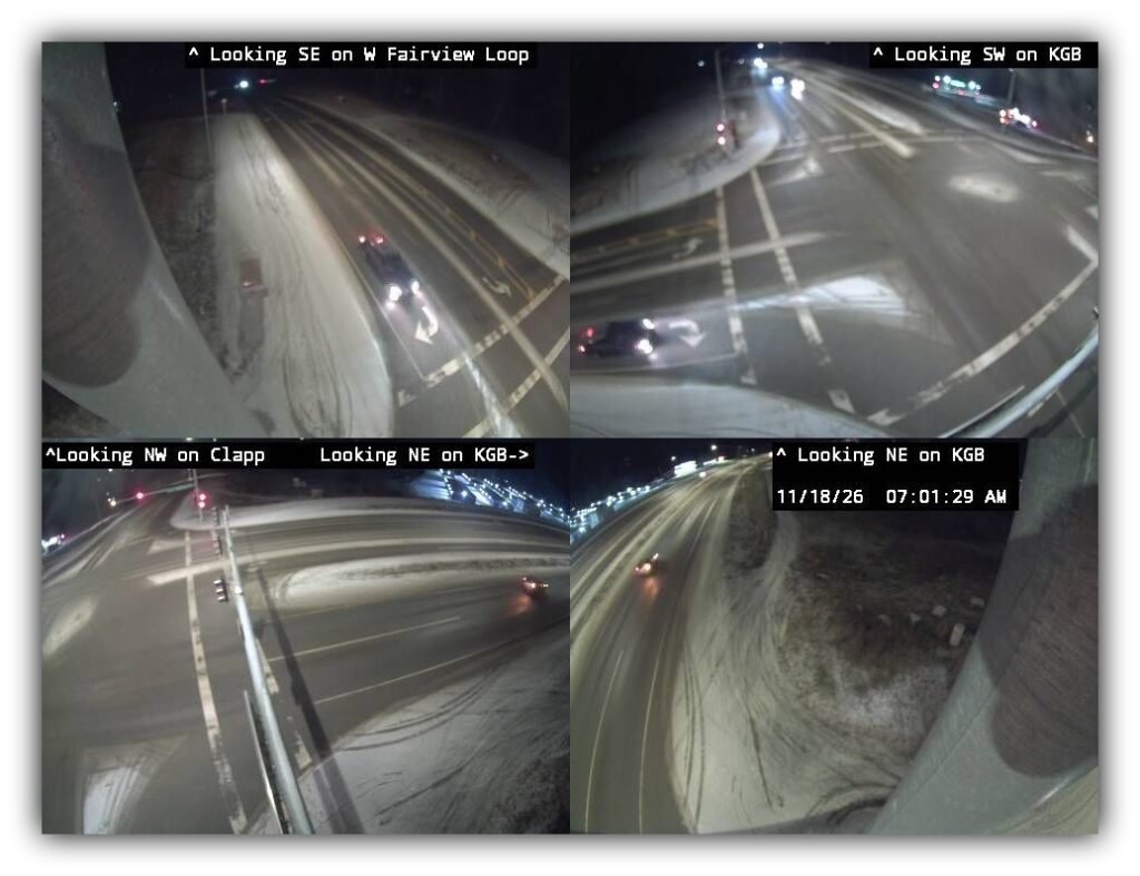
🚒✨ Knik Goose Bay Road
Lower Matanuska Valley / Wasilla forecast reference | High 39°F / low 35°F
| Time of Day | Hi Temperatures (°F) | Lo Temperatures (°F) | Driving Tips | Road Risk Level |
|---|---|---|---|---|
| Morning | 39 | 38 | Rain on ice and freezing rain hazards; use caution | 🔴 High |
| Afternoon | 39 | 35 | Rain possible; wet pavement and slick spots | 🟡 Moderate |
| Evening | 39 | 35 | Rain chances continue; northeast winds increase | 🟡 Moderate |
Sunrise: 9:15 AM
Sunset: 4:12 PM
Daylight: 6 hours, 57 minutes
Aurora Forecast for Tonight: Kp 4, moderate activity. Cloud cover is the spoiler.
Driving tips: Watch neighborhood roads, intersections and driveways as well as the main route. The Lower Mat-Su is included in the Winter Weather Advisory.
🌌 Tonight’s Northern Lights Forecast
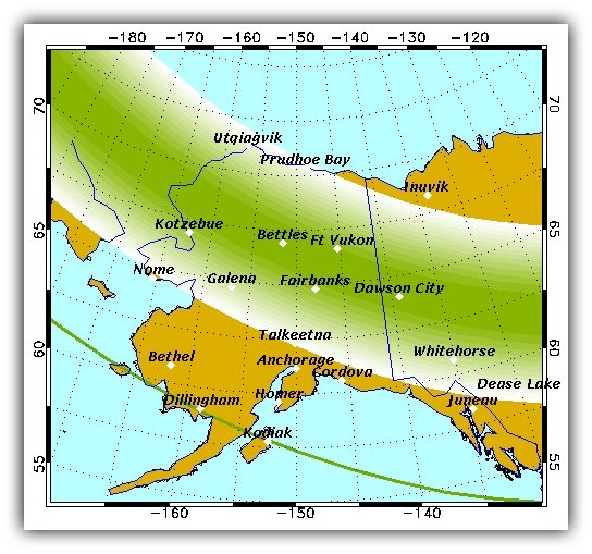
Kp 4
Moderate activity
The UAF live forecast page is showing Kp 4 across its displayed Wednesday three-hour forecast intervals.
- Expected activity: Moderate.
- Cloud cover: Mostly cloudy to overcast across much of Southcentral, with rain and mixed precipitation.
- Moon: First Quarter 🌛.
- Viewing outlook: Activity is encouraging, but clouds are likely to spoil the show for many Southcentral communities.
💅 Memaw’s advice: Keep an eye on any breaks in the clouds, but don’t plan your evening around a guaranteed light show.
💅 Memaw’s Parting Words
Well, today’s royal decree is simple: Princess Madison gets the crown, but Alaska’s roads get the side-eye! 👑😂
To my Madison, Grandma hopes your National Princess Day is every bit as special as you are. Keep that beautiful smile, your kind heart and your confidence. Never let anyone convince you that you need a castle to be royalty. You already have a Grandma who thinks you’re pretty darn royal and absolutely priceless. ❤️

And to the rest of my royal sugarplums out there, don’t let a little warmer weather fool you into thinking the roads have magically turned into glass slippers. Slow down, leave room, watch those puddles and keep your windshield wipers working.
Remember, darling, arriving safely is always better than arriving fashionably late.
Until tomorrow, keep your crown straight, your headlights bright and your right foot gentle. 💅🚗💨
Sources: NOAA, National Weather Service (NWS) Anchorage Forecast Office, Alaska 511, University of Alaska Fairbanks Geophysical Institute Aurora Forecast, and timeanddate.com for sunrise, sunset, and daylight information. Reality checks from Memaw. All forecasts, road conditions, and observations are subject to change without notice. 💅✨
👑
What do you feel about this post?

Like

Love

Happy

Haha

Sad