By Gina Hill | Alaska Headline Living | December 2025
The Lower Matanuska Valley faces another round of strong northeast winds this weekend, with gusts capable of toppling trees, damaging property, and causing power outages from Palmer to Wasilla.
High Wind Watch
The National Weather Service in Anchorage has issued a High Wind Watch for the Lower Matanuska Valley, effective from Saturday afternoon through Monday afternoon. Northeast winds of 30 to 50 mph are expected, with gusts of 60 to 70 mph possible.
Impacts to Expect
Residents should prepare for flying debris, potential damage to roofs, outbuildings, and vehicles, as well as scattered power outages. Travel may become difficult, particularly for high-profile vehicles.
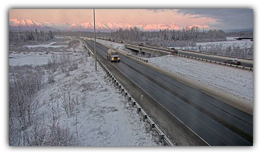
One to three inches of dry, powdery snow are expected across the Matanuska Valley today into tonight, setting the stage for blowing and drifting snow and sharply reduced visibility along area roads as winds pick up Saturday.
Broader Forecast
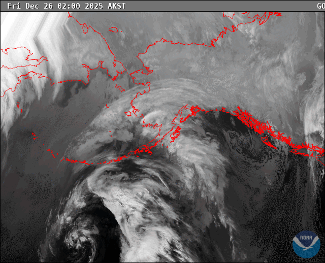
According to the National Weather Service, an upper-level trough over Southcentral and a surface low moving into the Gulf of Alaska will tighten the pressure gradient, generating another round of strong winds late this weekend into early next week. Typical gap-wind areas, including the Mat-Su, Valdez/Thompson Pass, and parts of the Gulf Coast, will be most affected. Current guidance suggests winds may be slightly less intense than earlier December events.
Safety Recommendations
Residents are advised to secure outdoor items, prepare for possible power interruptions, and exercise caution when traveling, especially Saturday night through Sunday when winds are expected to peak. Monitor forecasts closely for any updates, including potential upgrades from a High Wind Watch to a High Wind Warning.
Sources: National Weather Service, National Oceanic and Atmospheric Administration