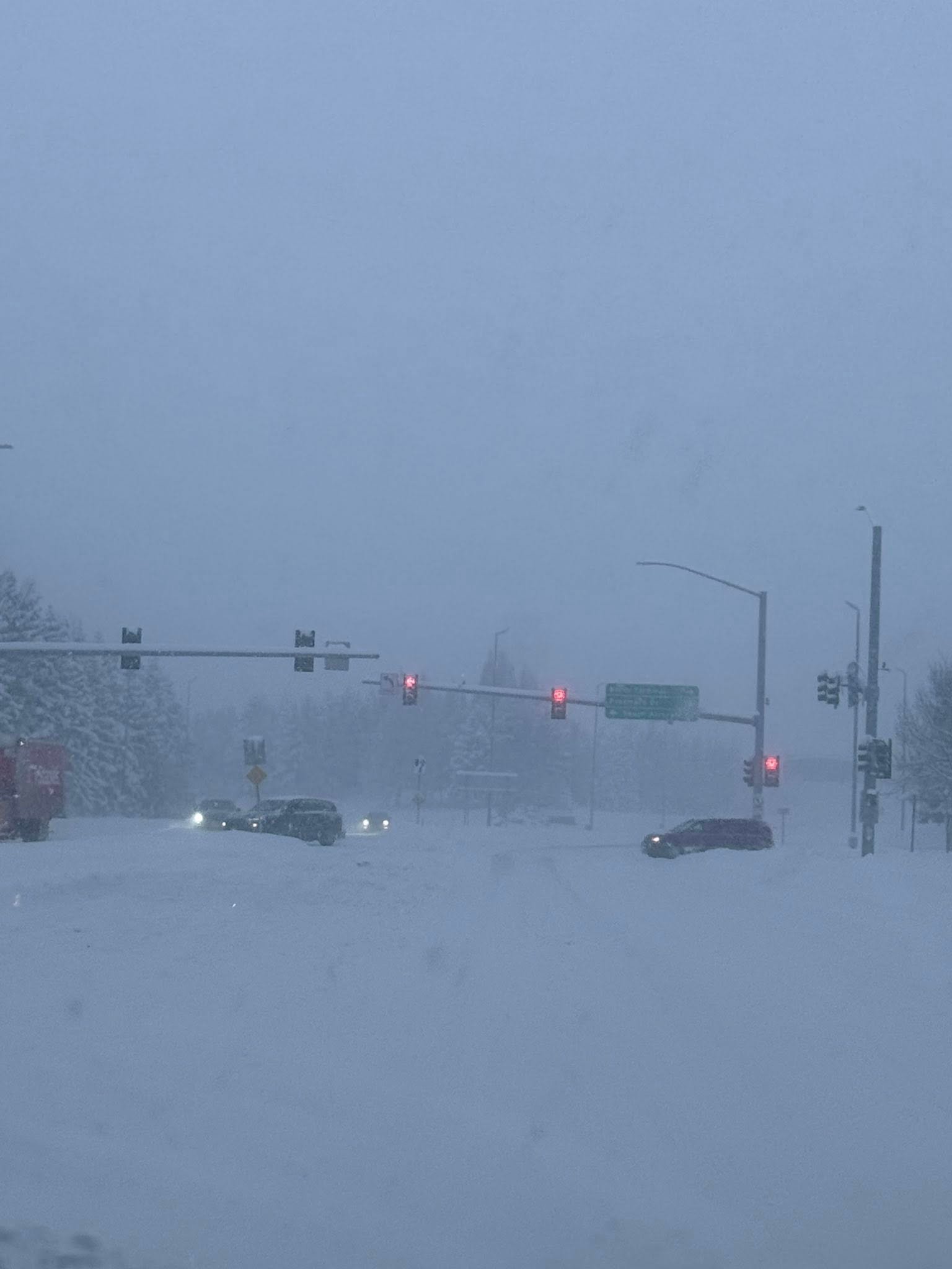
Near white‑out conditions on the way to Ted Stevens Anchorage International Airport along International Airport Road. Photo credit: Susan Marroquin (Facebook).
By Gina Hill | Alaska Headline Living | January 2026
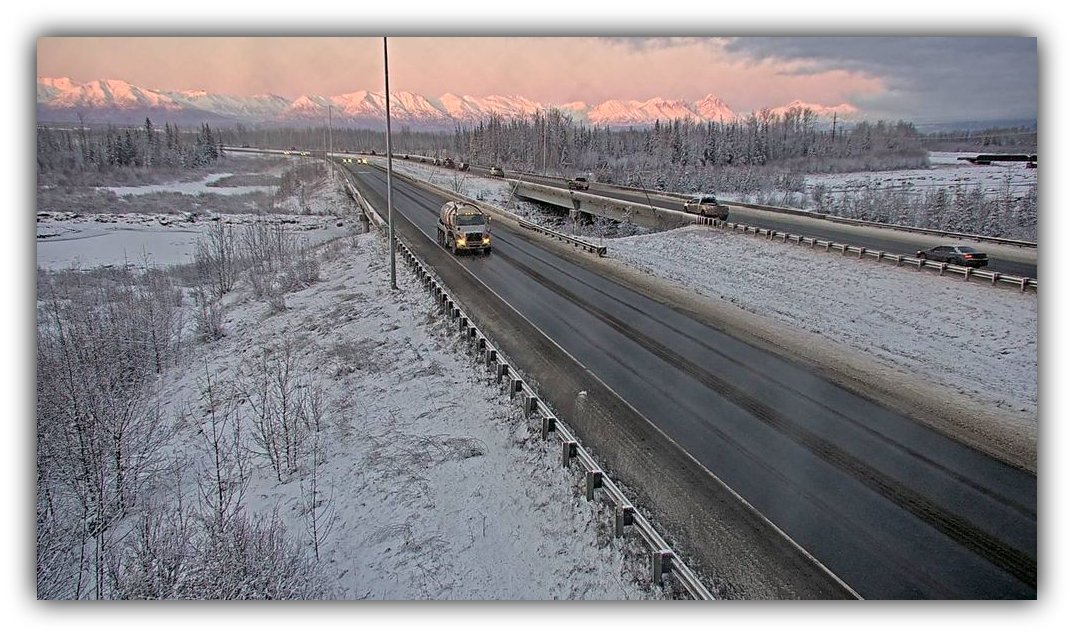
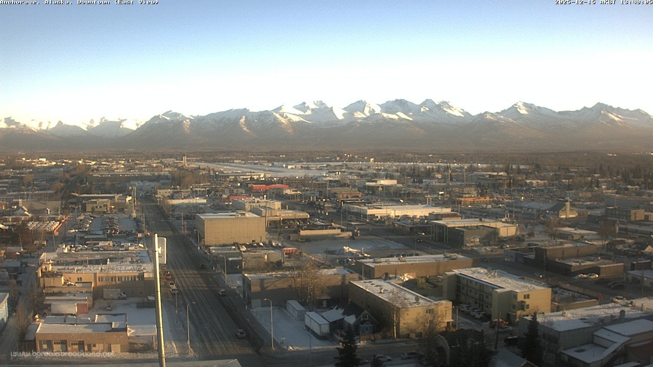
Southcentral Alaska is squarely in the path of a major winter storm, and the National Weather Service is keeping winter weather advisories and warnings active for Anchorage, the Mat‑Su Valley, Eagle River, and surrounding lowlands. Snowfall continues this afternoon, with bands of moderate to heavy snow reducing visibility and causing slippery roads. These snow bands are expected to persist into tonight before tapering briefly, then returning Tuesday into Wednesday as the Arctic air mass tightens its grip.
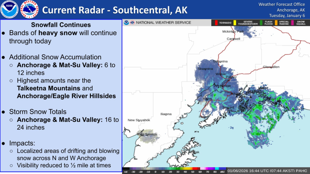
The Winter Storm Warning in effect warns of additional snow accumulations, locally exceeding a foot, and periods of blowing and drifting snow that will make travel hazardous. Forecasters emphasize that visibility may drop dramatically at times in the heavier snow bands, particularly on highways, overpasses, and open areas.
Temperatures remain bitterly cold. NWS forecasts show highs hovering around or just below zero in most valleys, with overnight lows plunging well into negative double digits. Wind chills will push perceived temperatures even lower, making outdoor exposure dangerous without proper protection.
Matanuska Electric Association has reported a current outage affecting about 259 members in Meadow Lakes, with crews dispatched to restore service. The combination of heavy snow, gusty winds, and bitter cold can delay repair efforts, so residents should plan accordingly.
Here’s the current NWS forecast for key Southcentral locations:
Here’s the current NWS forecast for key Southcentral locations:
| City / Area | High (°F) | Low (°F) | Snow / Weather |
|---|---|---|---|
| Anchorage / Eagle River | ~15 | ~ –7 | Snow this afternoon with blowing snow; snow chances continue tonight (NWS) |
| Wasilla / Mat‑Su Valley | ~14 | ~ –5 to –8 | Snow likely this afternoon with blowing snow; snow chances persist into Tuesday night (NWS) |
| Palmer / Lower Mat‑Su Valley | ~14 | ~ –5 | Snow and areas of blowing snow today and tonight (NWS) |
The forecast indicates snow continuing into tonight with intermittent heavy bands and blowing snow, followed by a temporary easing before more flurries appear Wednesday. Overnight lows remain dangerously cold, with wind chills well below zero. Travel will be difficult at times, and drivers should exercise extreme caution, slow down, and leave extra distance between vehicles.