By Headline Living Magazine | Alaska Science & Safety Feature
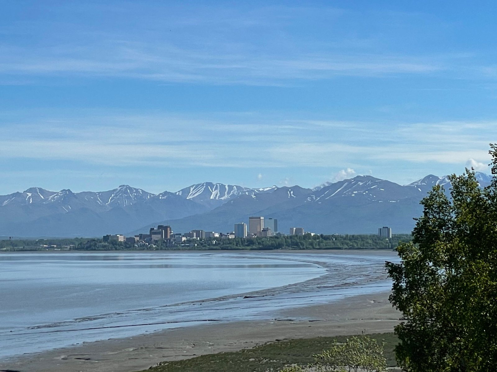
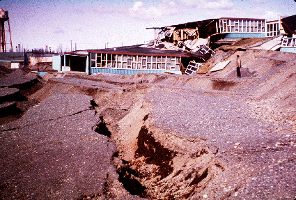
When the Great Alaska Earthquake struck on March 27, 1964, the world watched in horror as tsunamis wiped out towns like Valdez and Chenega. But Anchorage, just 80 miles away, seemed untouched by the sea. For decades, scientists and residents alike assumed Cook Inlet’s narrow arms and mighty tides protected it.
Now, a groundbreaking new report from the Alaska Division of Geological & Geophysical Surveys (DGGS) reveals a startling truth: a tsunami did reach Anchorage that night. The only reason no one noticed? It arrived under the cover of darkness, at low tide.
According to the study, a 3-meter (10-foot) tsunami wave rolled silently into Upper Cook Inlet roughly 8.5 hours after the 9.2-magnitude earthquake, cresting around 2 a.m., when the tide was at its lowest. The result: no obvious flooding, no eyewitnesses, and no records of a wave that, by all rights, should have been there.
“It’s one of those fascinating paradoxes of Alaska’s geology,” says Elena Suleimani, lead tsunami modeler for the DGGS study. “The wave happened, the physics demand it, but because of timing and tide, it passed almost invisibly.”
A Hidden Threat in the Inlet
The new modeling, part of DGGS’s Tsunami Inundation Maps of Anchorage and Upper Cook Inlet project (RI 2023-2), used powerful simulations to reconstruct both the 1964 event and a range of “worst-case” future scenarios. The results show that Anchorage and parts of Knik Arm could see tsunami waves up to 10 meters (33 feet) in extreme conditions, especially if a major quake’s waves arrive at high tide instead of low.
Even more unnerving: tsunami currents in shallow channels could reach 4 meters per second (about 8 knots), strong enough to move boats, damage docks, or undermine bridges.
“Cook Inlet’s huge tidal range, up to 40 feet between highs and lows, plays a critical role,” says Michael West, Alaska State Seismologist. “That’s both a blessing and a curse. It can mask a tsunami’s arrival, or it can make it far more dangerous depending on timing.”
What the Maps Reveal
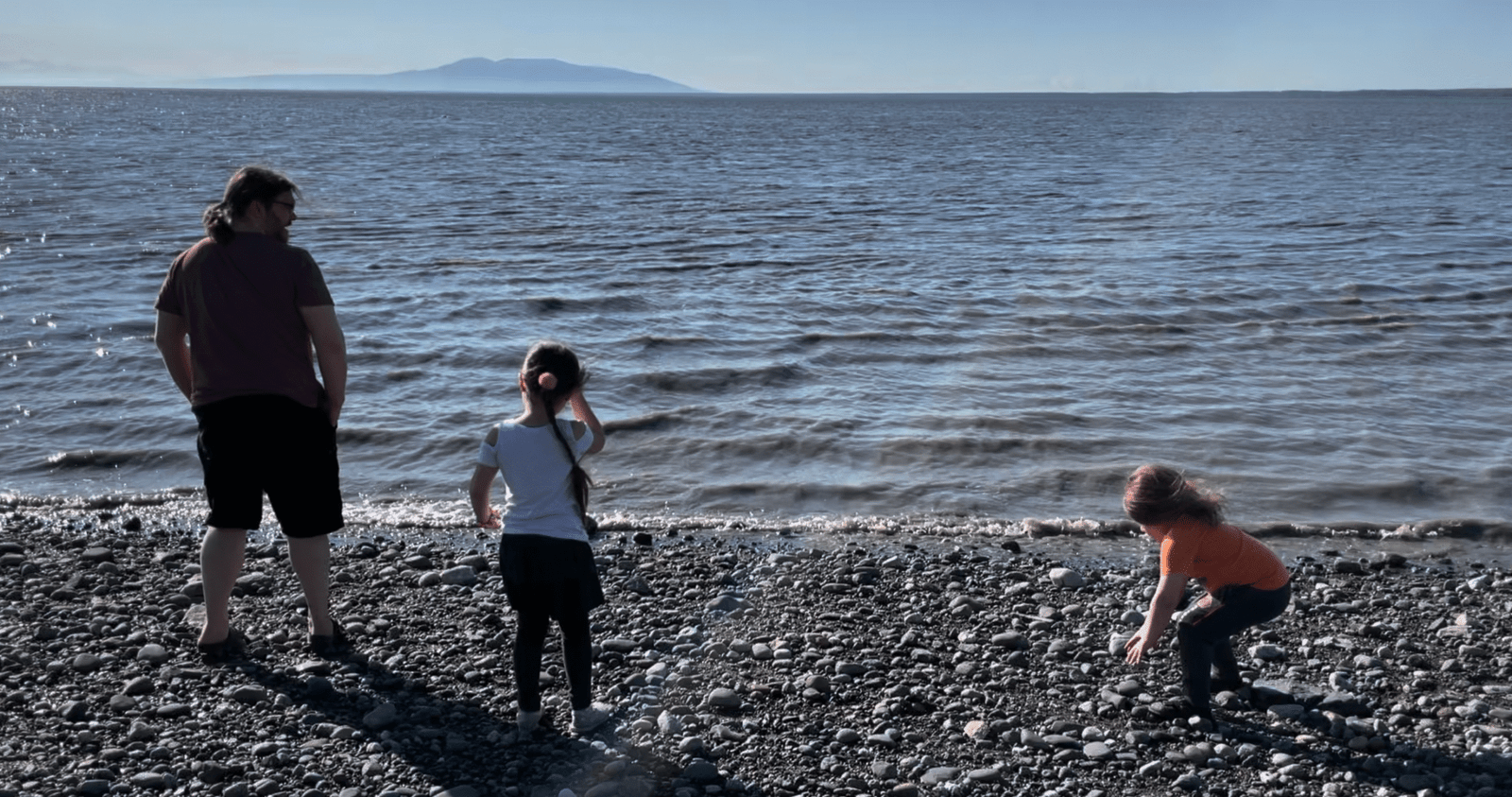
The DGGS maps, now available to the public, paint a detailed picture of which areas could flood. While most of Anchorage sits safely above tsunami reach, low-lying coastal zones near the Port of Anchorage, Point Mackenzie, and the mouths of the Knik and Matanuska Rivers could be vulnerable.
The new data even show the potential for flooding “past the Glenn Highway crossings” in extreme conditions, meaning Knik Arm and parts of the Mat-Su lowlands may not be as immune as once believed.
For Wasilla and much of the Mat-Su Valley, though, the news is reassuring: higher elevation and inland distance keep the risk extremely low.
“The Threat Is Real, But Rare”
Researchers stress that these scenarios represent maximum credible hazards, not imminent events. The stars have to align with a massive quake in the right location, with high slip near the surface, and a high tide, for Anchorage to see significant flooding.
Still, the 1964 discovery underscores an important point: Upper Cook Inlet isn’t off the hook.
“If you feel a strong earthquake, one that lasts more than 20 seconds, that’s your warning,” says West. “Don’t wait for an alert. Move to higher ground immediately. The tsunami may be slower to arrive here, but it’s coming.”
Alaska’s Invisible Wake-Up Call
For all its scientific rigor, this study reads almost like a ghost story, a wave that came and went unseen, a warning buried in the tides.
It’s a reminder that nature’s quiet moments often hide the loudest lessons.
And now that we know Anchorage’s “invisible tsunami” was real, the question isn’t if it could happen again. It’s when the tide and time will next conspire.
🗺️ Explore the maps:
Alaska DGGS Tsunami Inundation Study (RI 2023-2)
👉 dggs.alaska.gov/pubs/id/31018
🌊 Learn more:
University of Alaska Fairbanks Earthquake Center: “New analysis finds real, though rare, tsunami threat to Upper Cook Inlet”