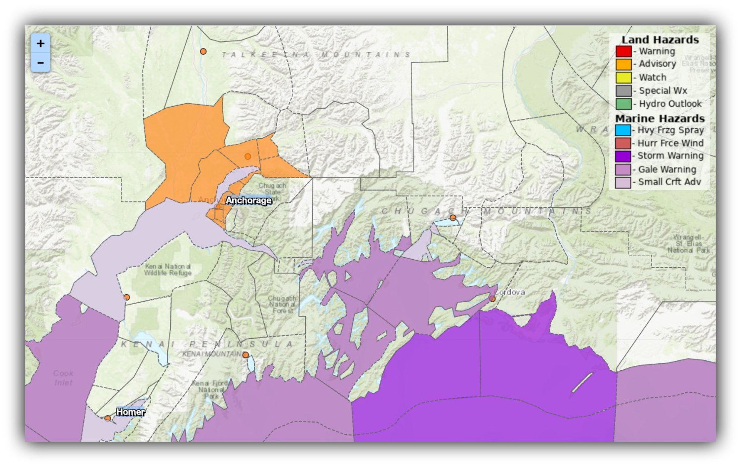
A National Weather Service map highlights the areas under a Winter Weather Advisory, with Anchorage, the Lower Matanuska Valley, and the Southern Susitna Valley expected to see a hazardous mix of snow, rain, and freezing rain through early Monday. Map: Weather.gov
By Gina Hill | Alaska Headline Living | November 2025
A fresh round of winter trouble is bearing down on Anchorage and the Mat-Su, as the National Weather Service issued a Winter Weather Advisory beginning noon Sunday through 6 a.m. Monday. The alert warns of a messy combination of snow, rain, and freezing rain that could make travel dangerous across Southcentral Alaska.
Forecasters say residents should expect up to 3 inches of snow and a light glaze to a tenth of an inch of ice, enough to create slick roads and difficult driving, especially for the Monday morning commute.
Mixed precipitation is expected to return Sunday afternoon and linger well into the overnight hours as temperatures hover right around freezing. That means the weather could shift between rain, snow, and freezing rain with little warning.
Colder pockets, including the Big Lake–Houston–Willow corridor and protected areas in and around Anchorage, are most at risk for ice accumulation. Meanwhile, strong Matanuska winds could keep portions of Palmer and Wasilla just warm enough to avoid the worst of the freezing rain.
Conditions may already be slippery after Saturday’s freezing rain, and forecasters note that new precipitation could re-freeze and worsen existing slick spots, especially on untreated roads, sidewalks, and parking lots.
The NWS urges residents to take action within the hour and plan ahead for hazardous conditions.
Drivers are encouraged to slow down, allow extra stopping distance, and consider delaying unnecessary travel as the winter mix settles in.
More updates will be provided as conditions evolve. Stay safe and stay weather-aware.